
Mountains1–2 hours, or 6–7 with the Ruivo hikeFree
Pico do Arieiro
Madeira's third-highest peak, and the only one you can drive to.
Sixty-odd places we've been to ourselves, grouped by the kind of day they suit. Every one tells you how long to allow, what it costs, where to park and when the light is right — so nothing is left to guesswork. Start with the theme that sounds like your kind of morning.
Ridge lines above the cloud, glass skywalks and the miradouros worth the drive.
Madeira's third-highest peak, and the only one you can drive to.
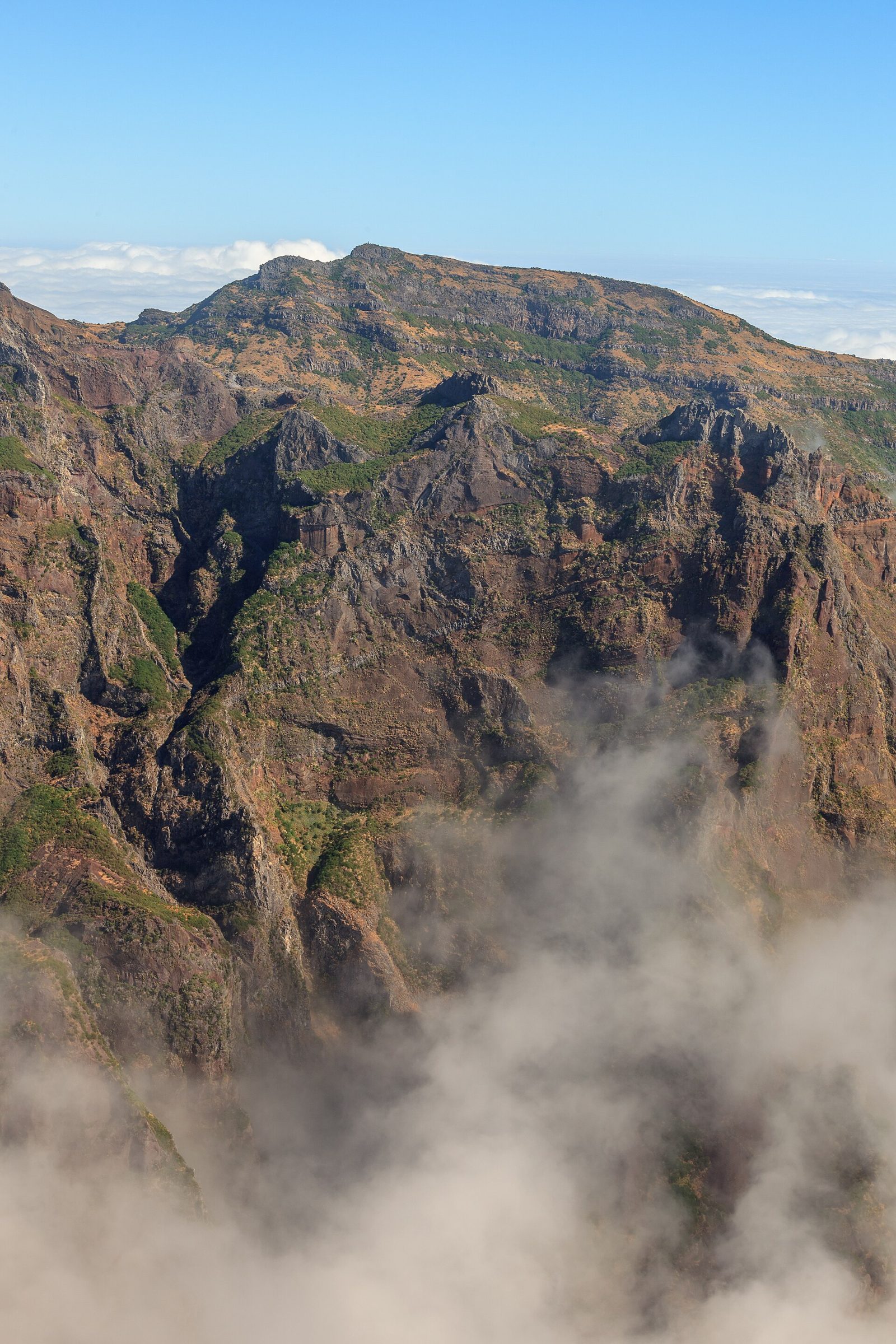
The island's highest point at 1,862 m, and only reachable on foot.
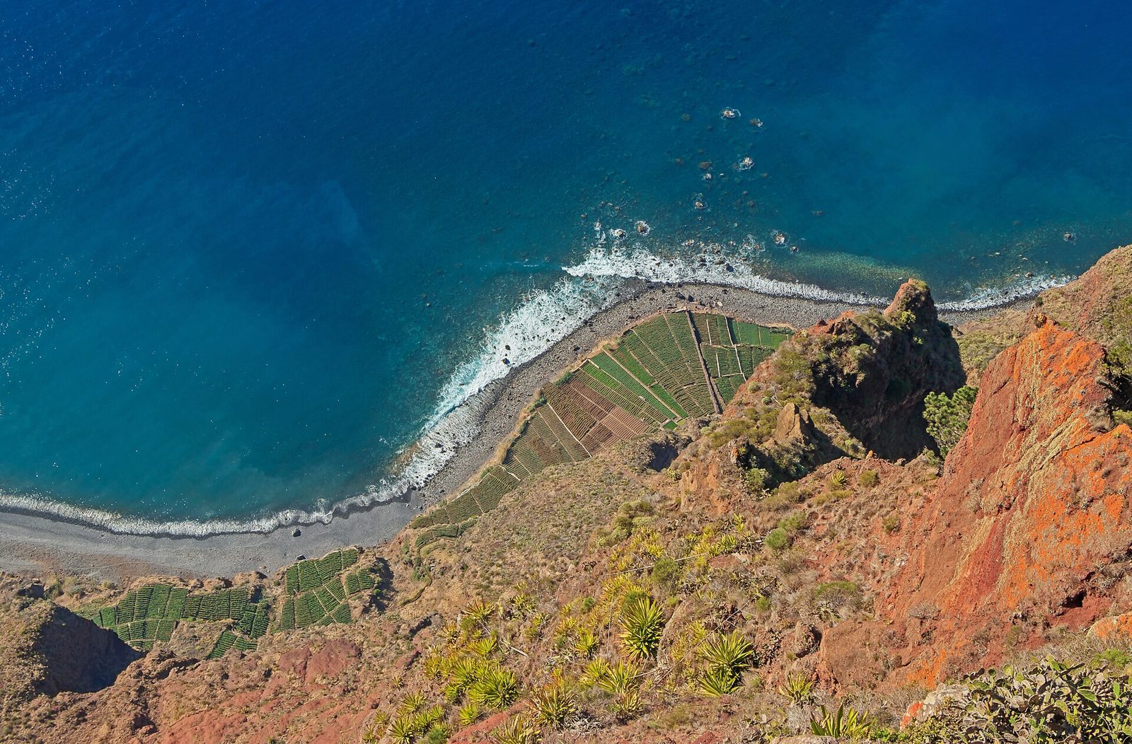
A glass floor 580 m above the Atlantic, ten minutes from Câmara de Lobos.
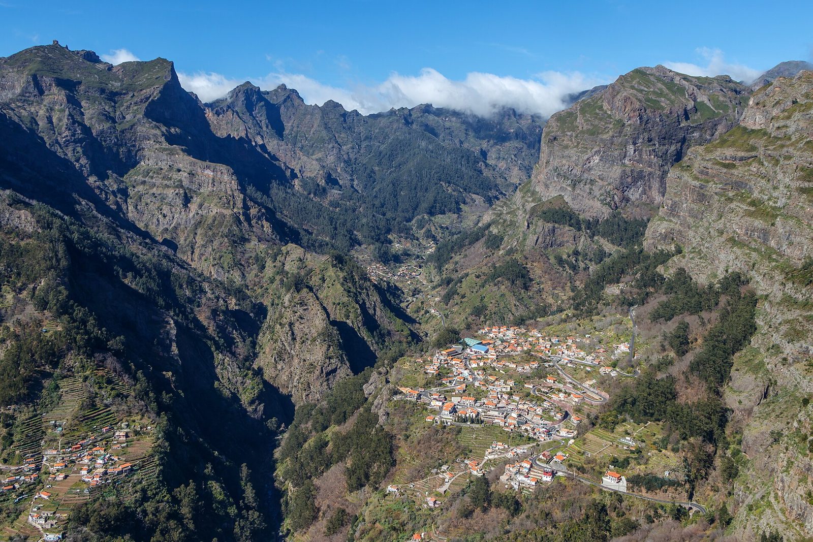
A balcony looking 800 m straight down into the Curral das Freiras valley.
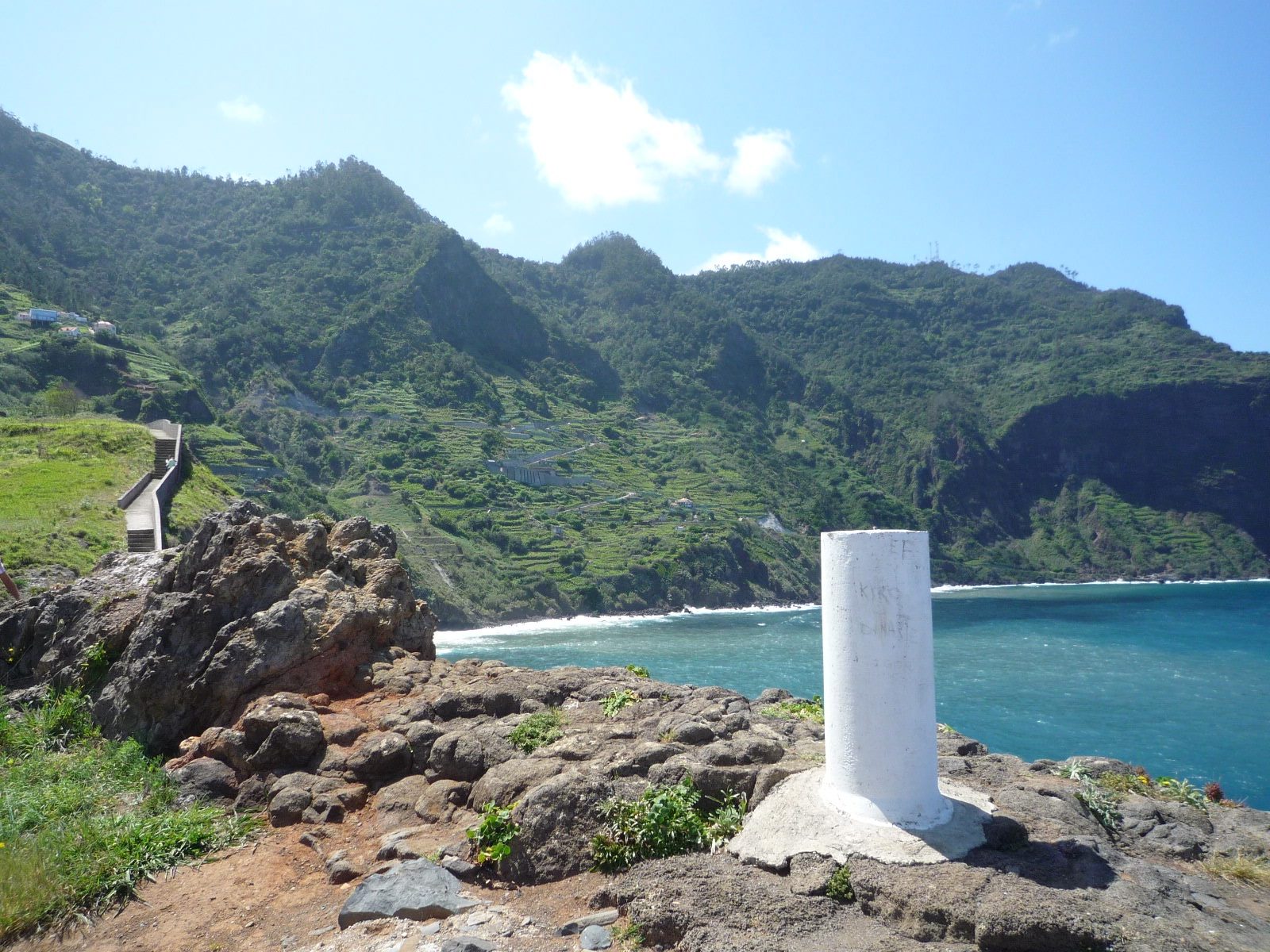
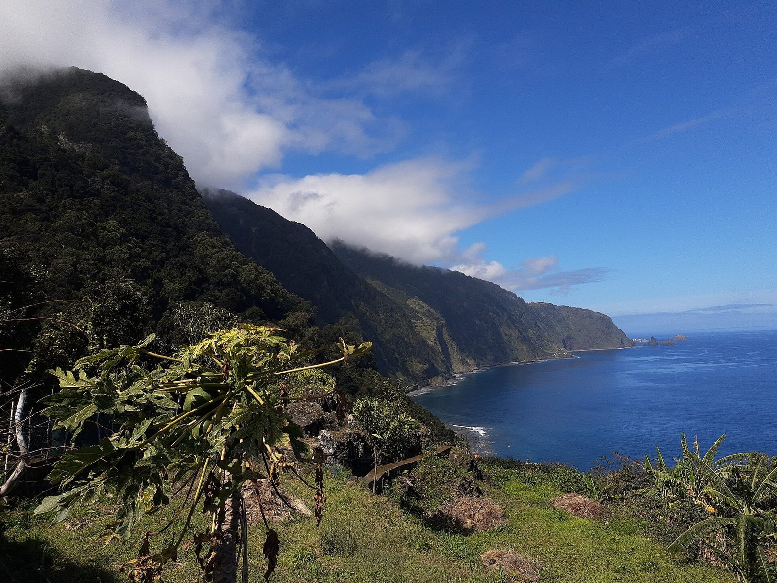
A cantilevered platform hanging over the north coast near Faial.
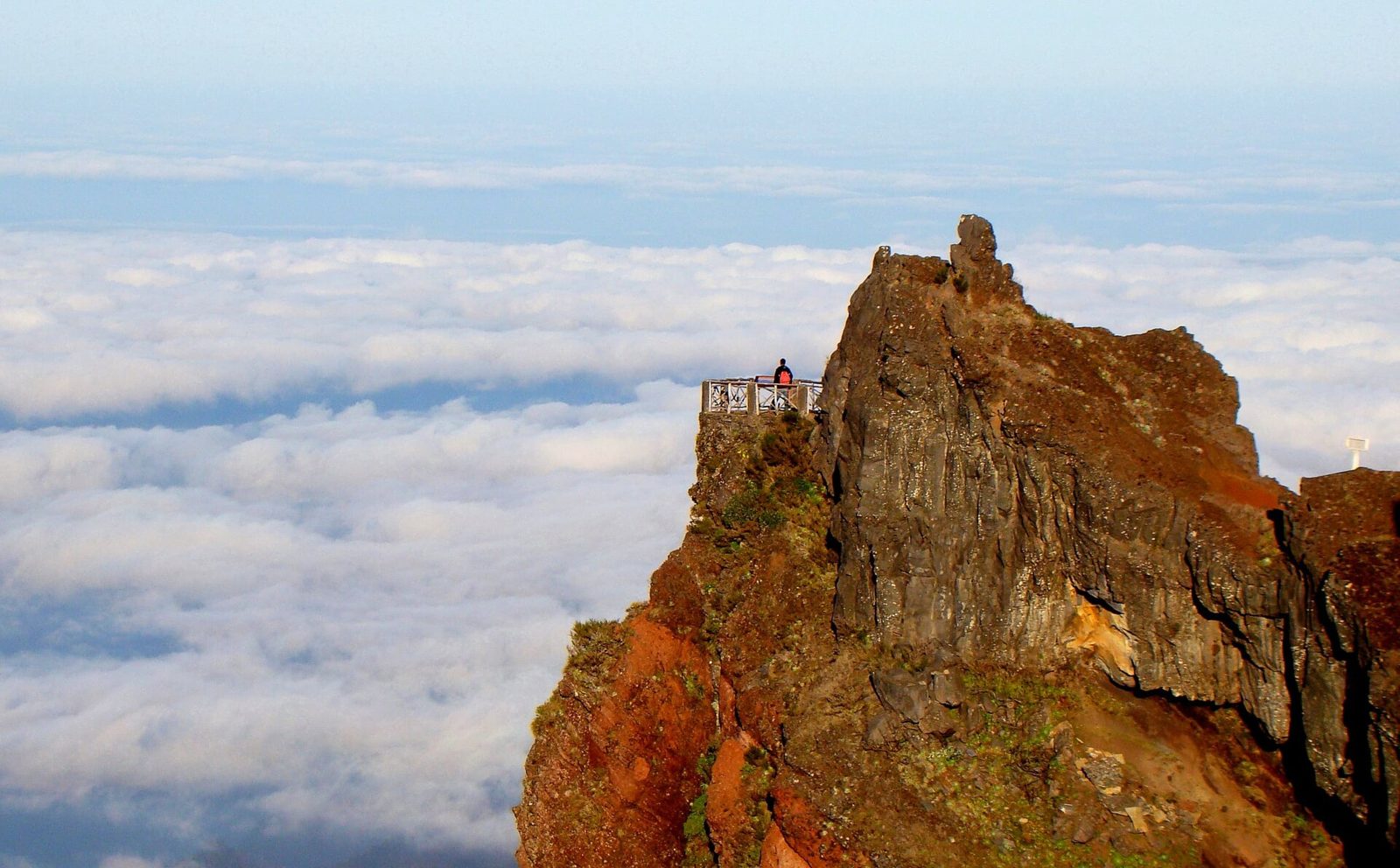
The buzzard's nest — fifteen minutes along the trail from Pico do Arieiro.
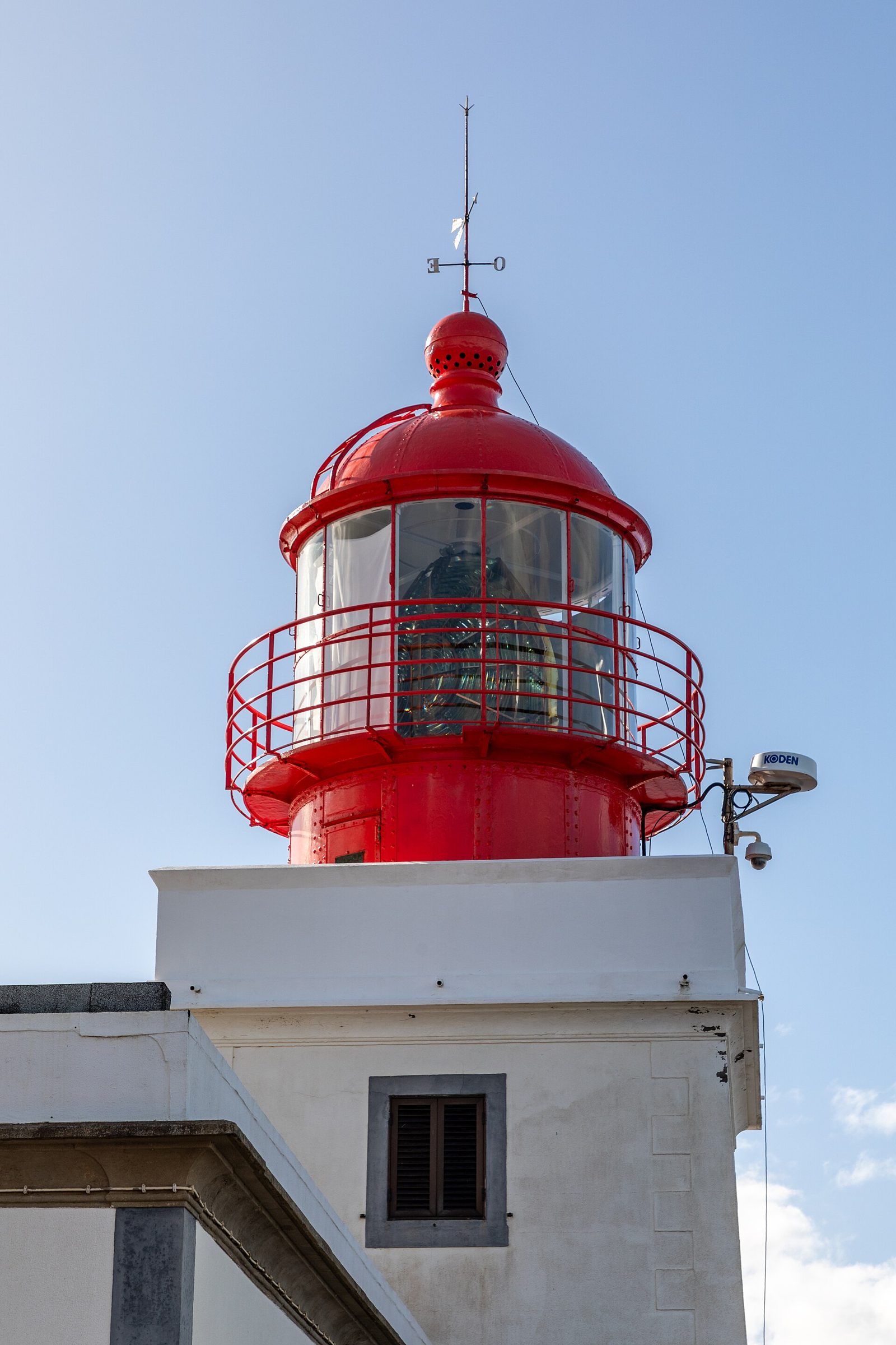
The island's westernmost lighthouse, on a 300 m cliff, with almost nobody there.
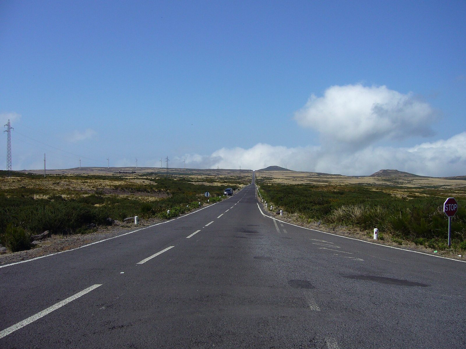
Madeira's only high plateau — moorland, wind turbines and free-roaming cows.
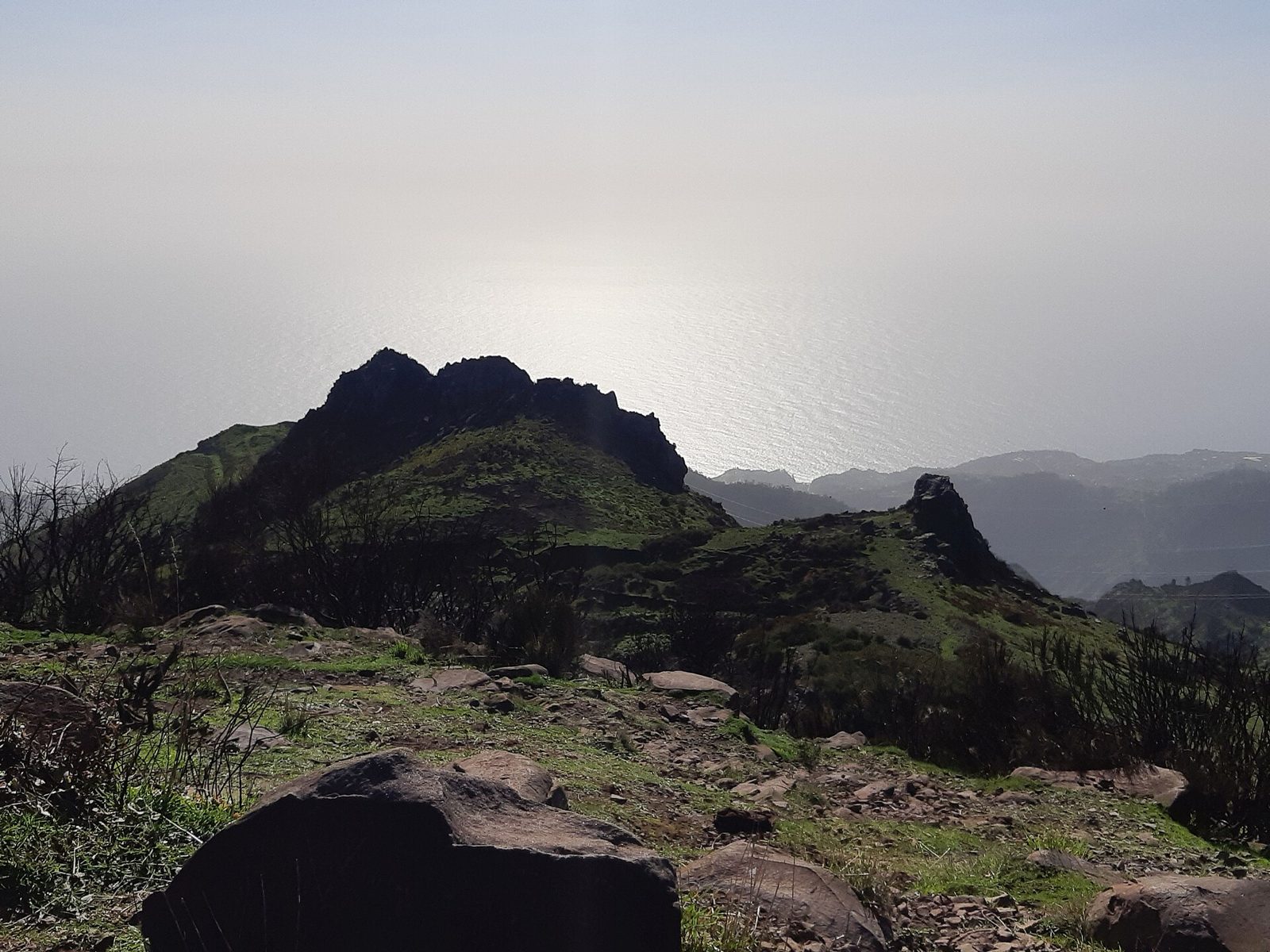
A picnic-table viewpoint at 1,620 m looking back at the central peaks.
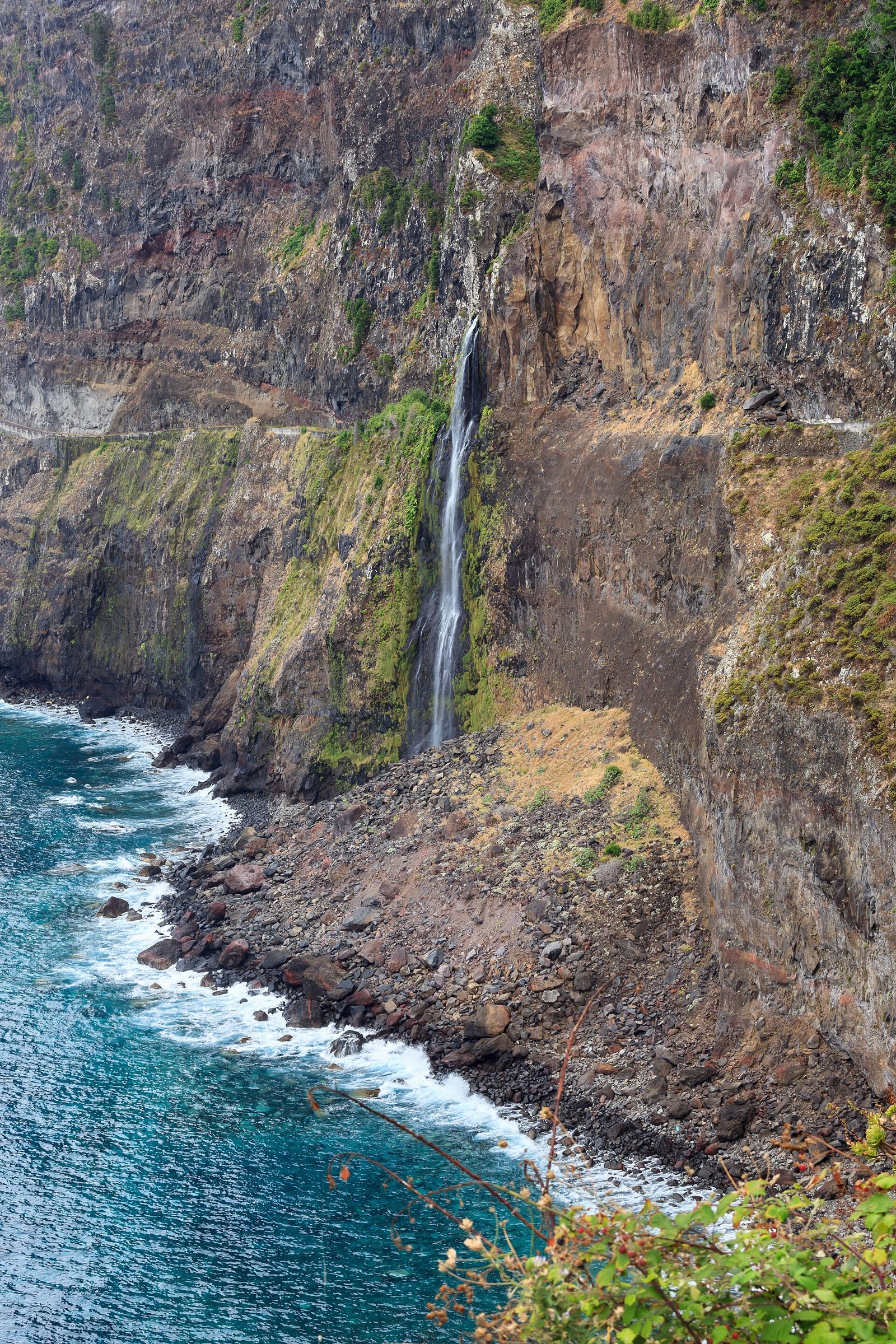
The bridal veil waterfall, falling straight into the sea near Seixal.
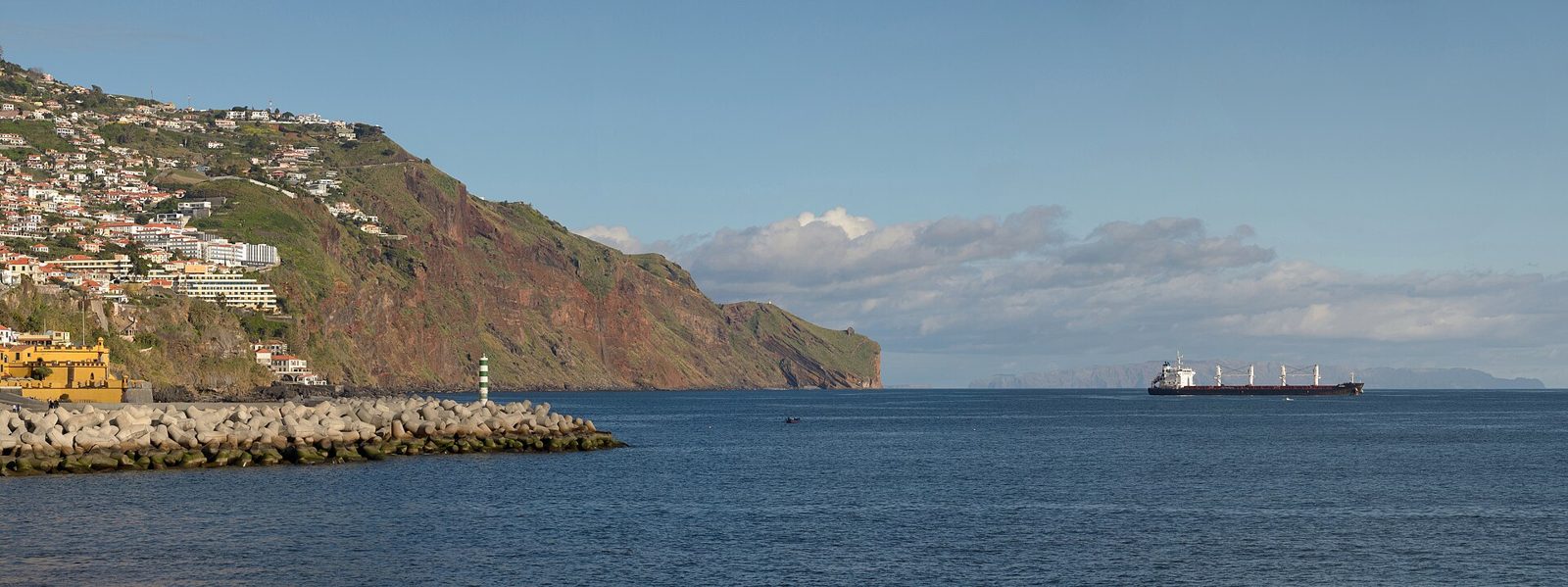
An open-armed Christ statue on the headland east of Funchal, from 1927.
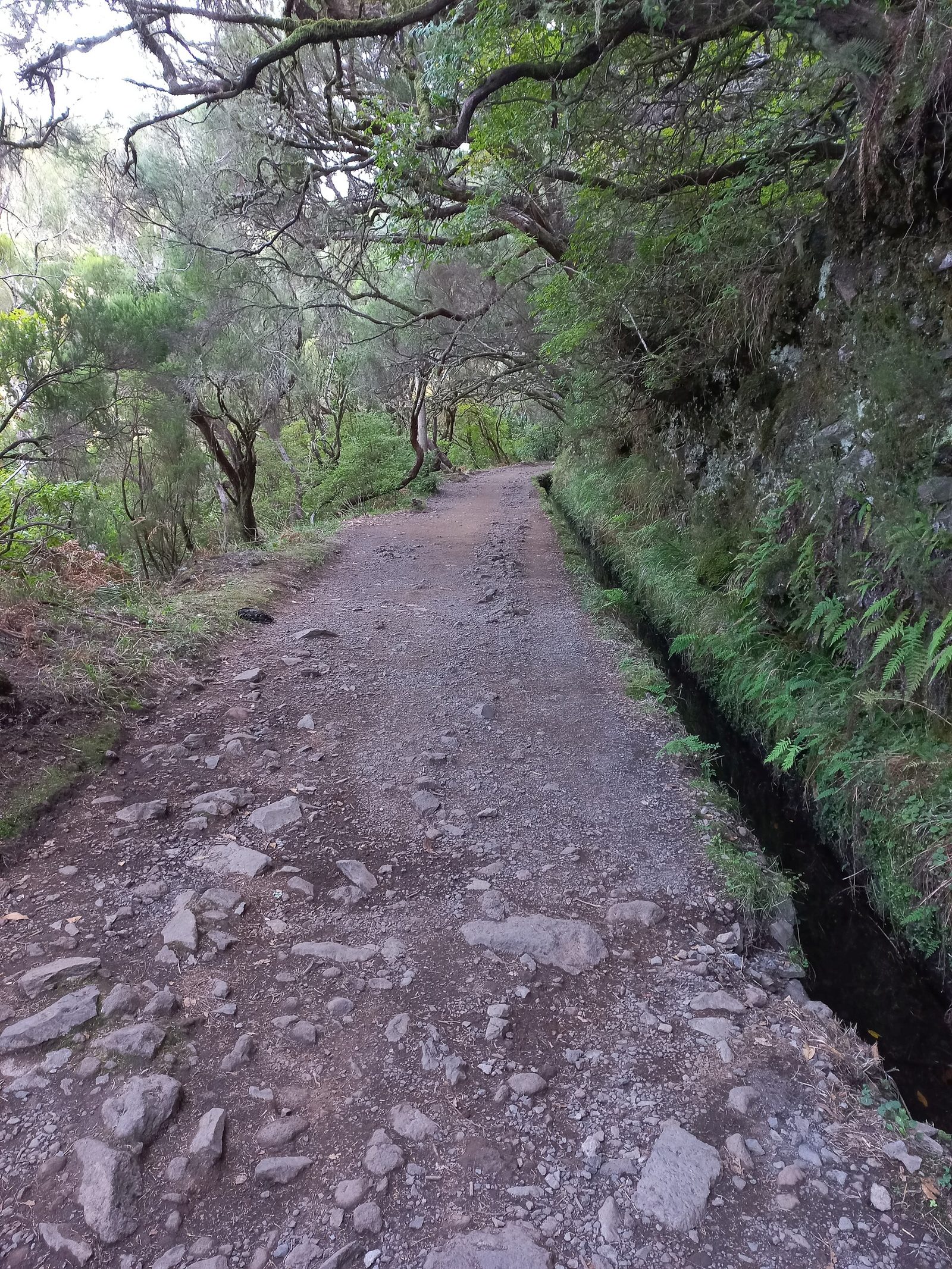
Irrigation channels through laurel forest, and the harder mountain routes beside them.
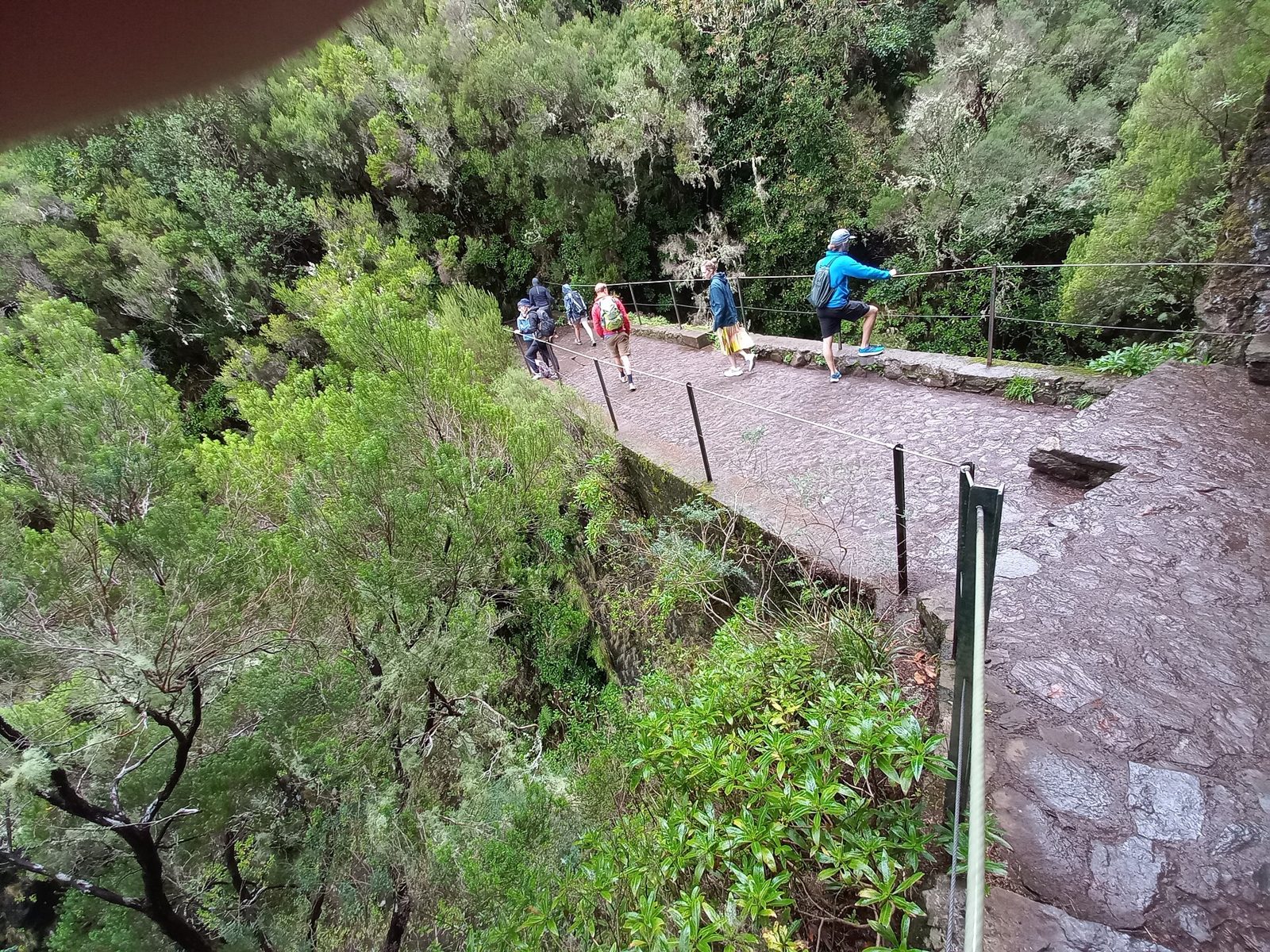
The island's most famous walk: laurel forest, a levada and a spring-fed lagoon.
A 40-minute round trip to a 100 m waterfall — the easiest big payoff in Rabaçal.
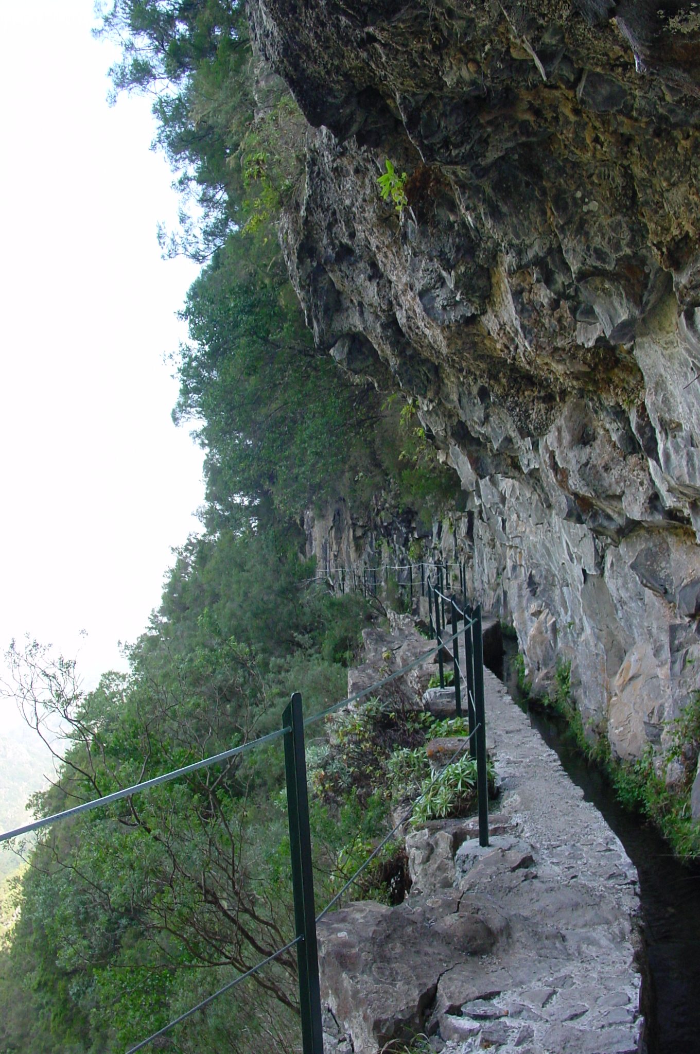
Levada do Caldeirão Verde: tunnels, ferns and a waterfall in a hidden bowl.
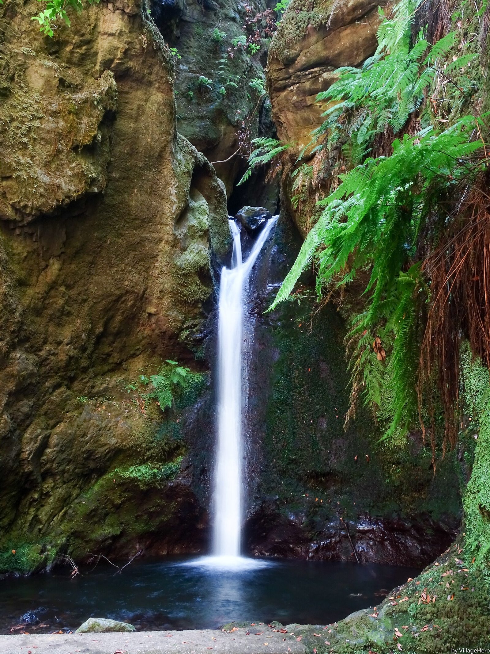
The wilder extension beyond Caldeirão Verde, through carved rock corridors.
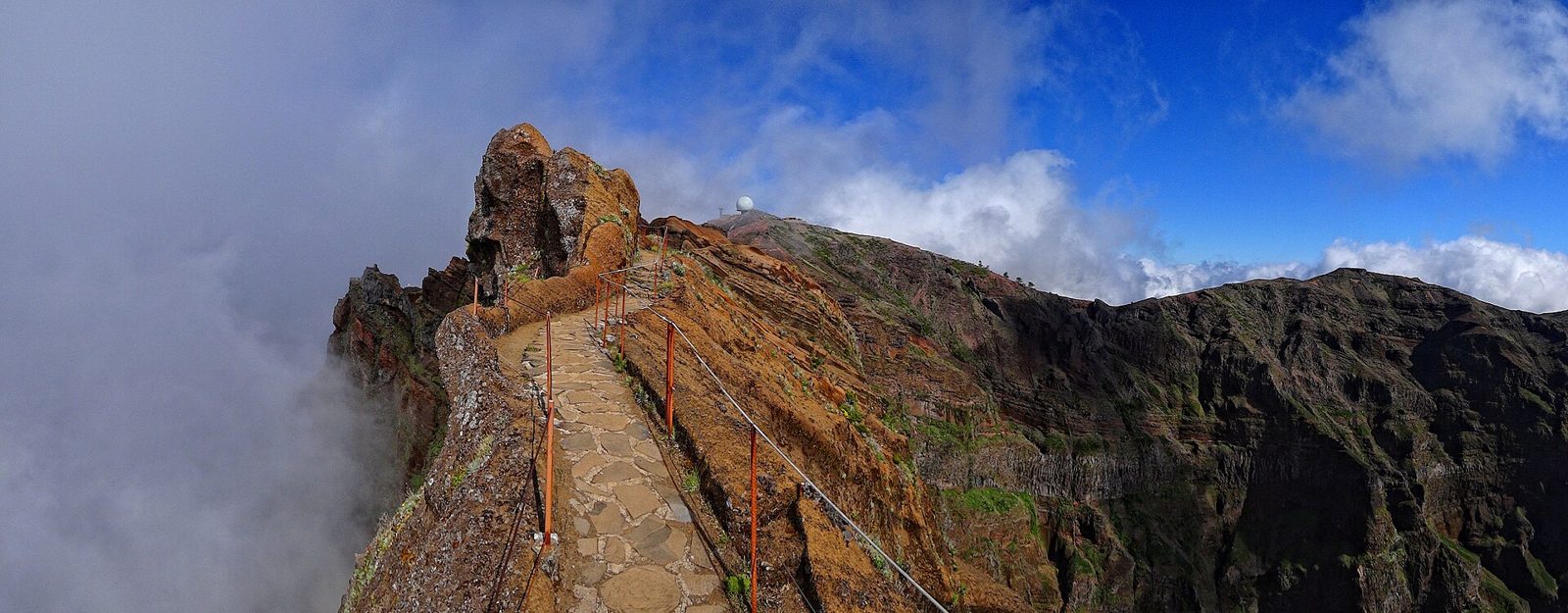
Arieiro to Ruivo along the roof of the island — the island's hardest classic.
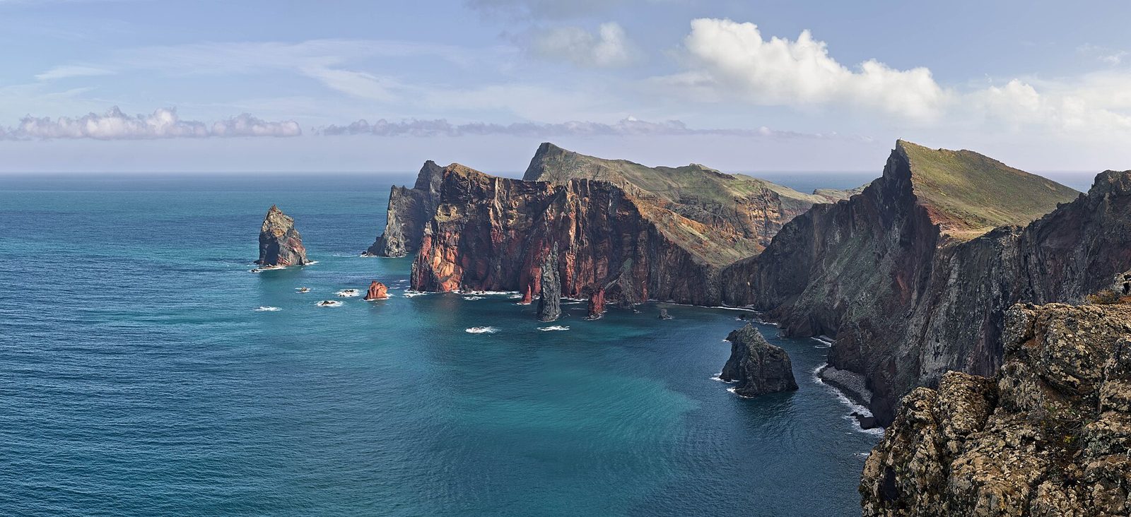
A dry, treeless peninsula of red and ochre cliffs at the island's eastern tip.
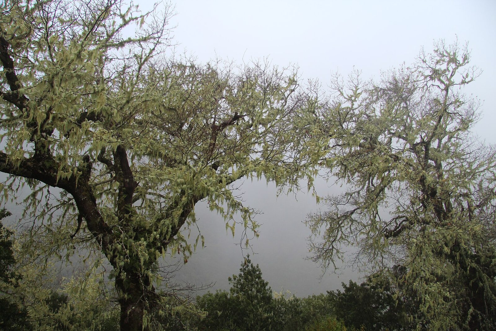
The trailhead valley for the west's best walking, below Paúl da Serra.
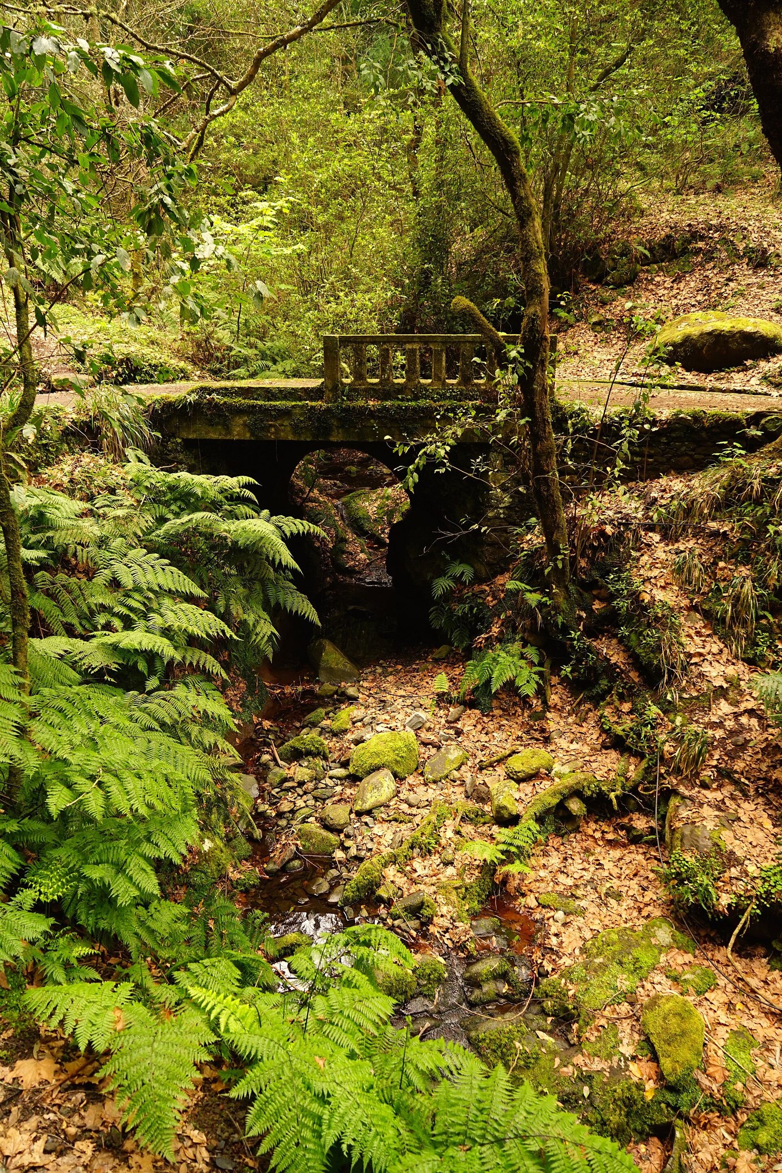
Thirty flat minutes through laurel forest to a balcony over the Ribeira da Metade.
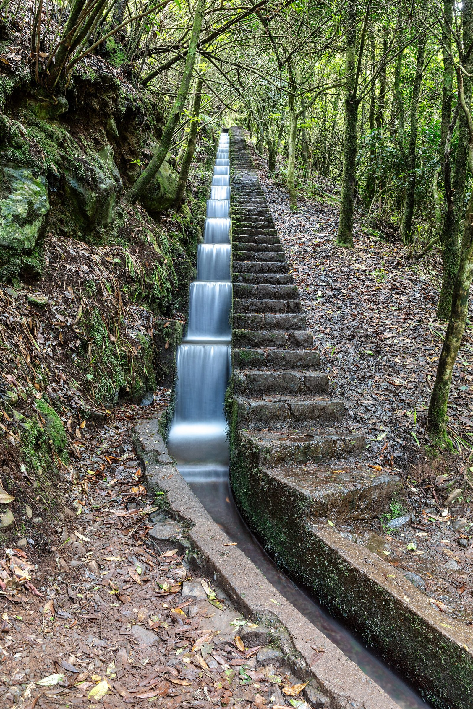
A forest village at 860 m: trout farm, tree ferns and two great trailheads.
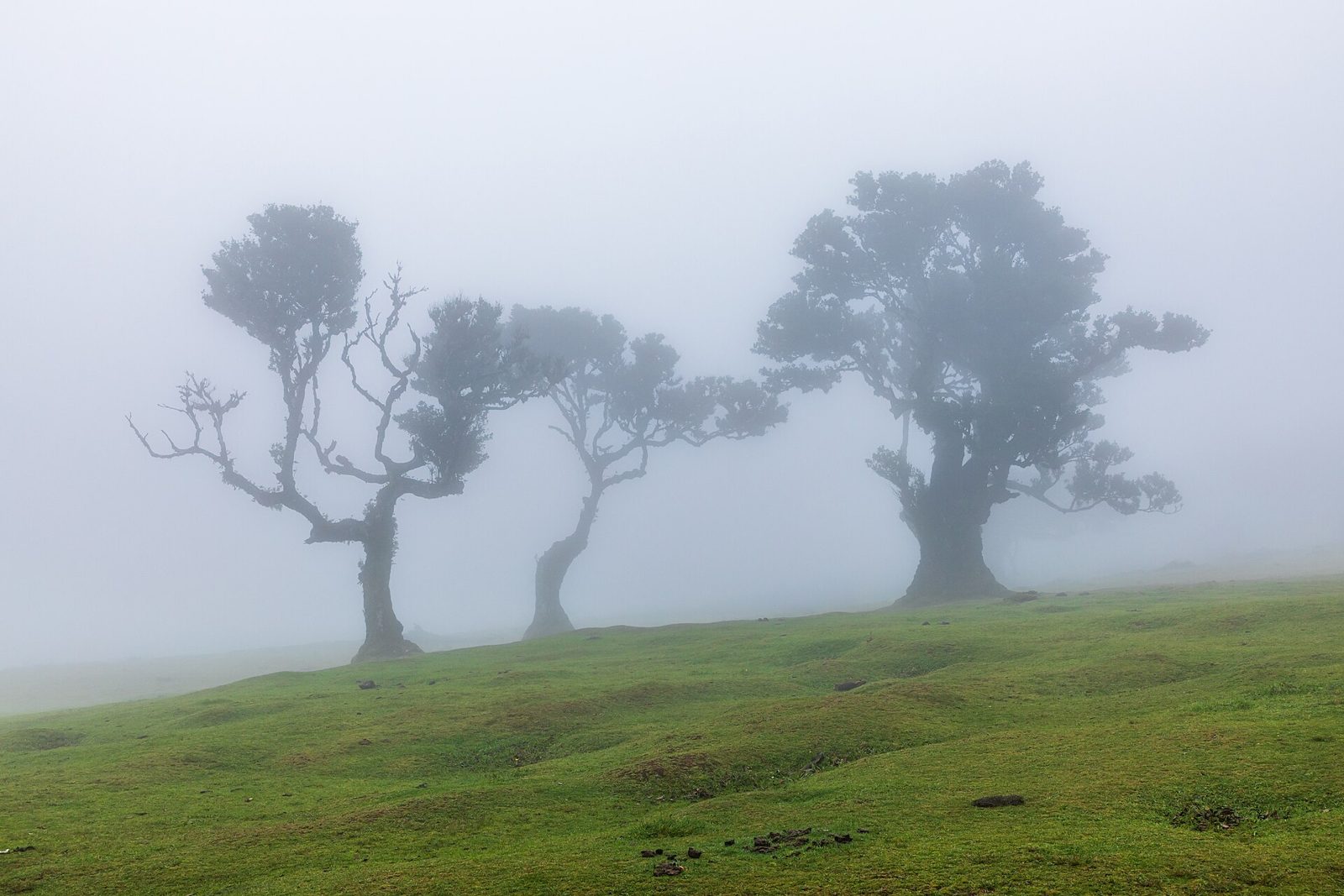
Ancient til trees in fog on the western plateau — the island's strangest landscape.
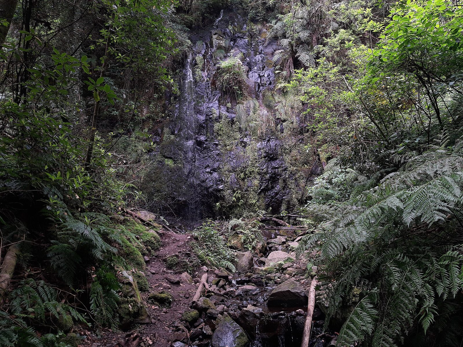
A quiet forest levada from São Jorge, ending at a spring in a green cul-de-sac.
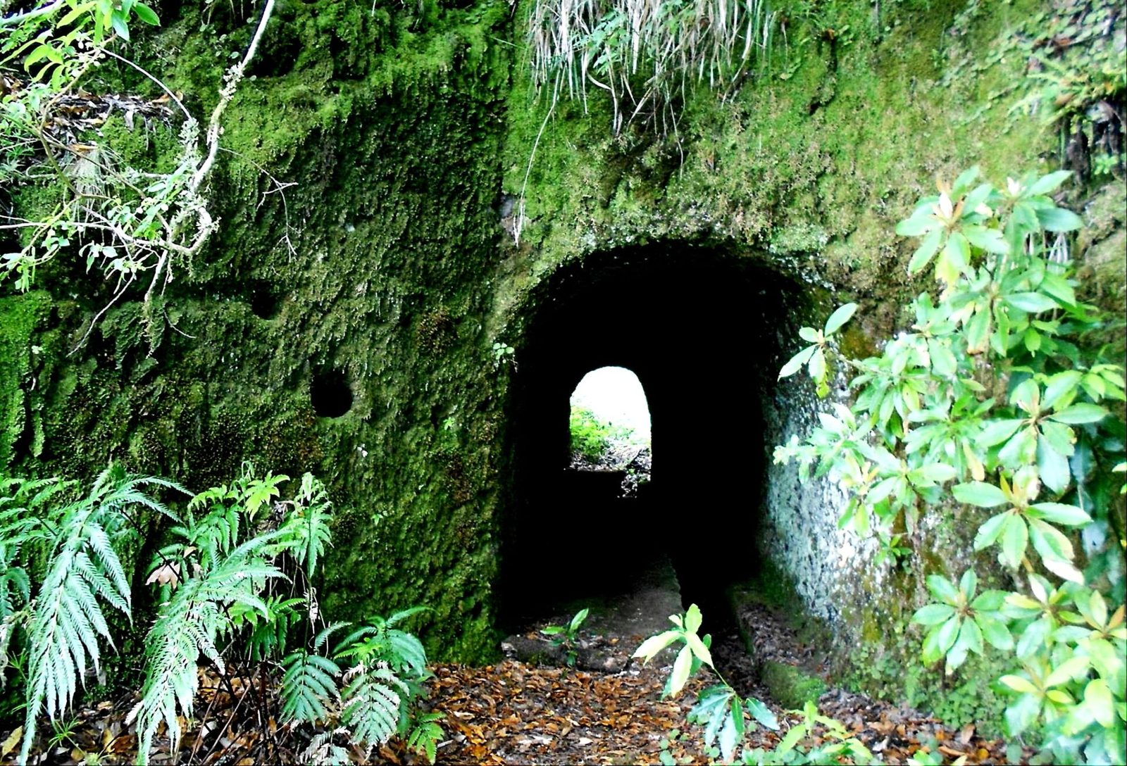
Rabaçal's quiet alternative: a small green lake and old-growth til trees.
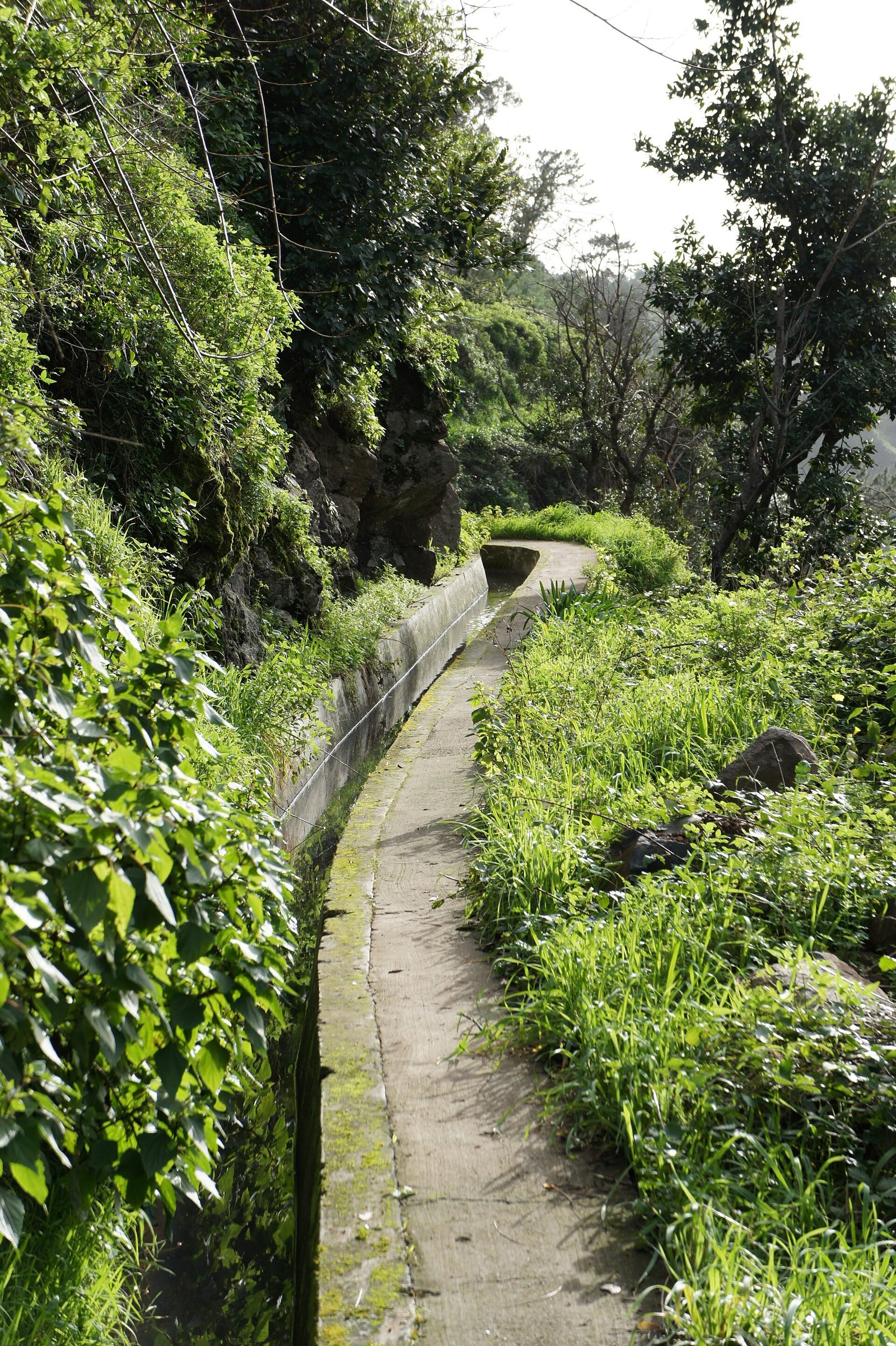
A sunny circular walk above Ponta do Sol, ending under a waterfall.
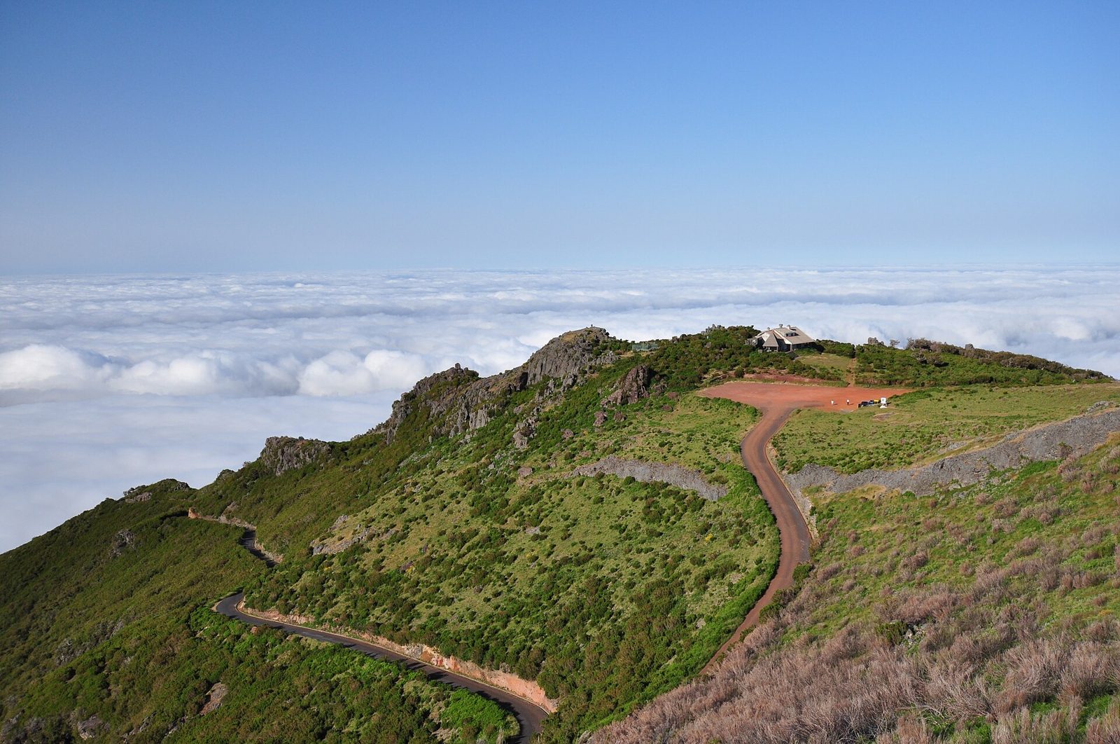
The gentle back door to Pico Ruivo, above Santana at 1,590 m.
Black sand, lava pools and the sheltered spots that actually work for swimming.
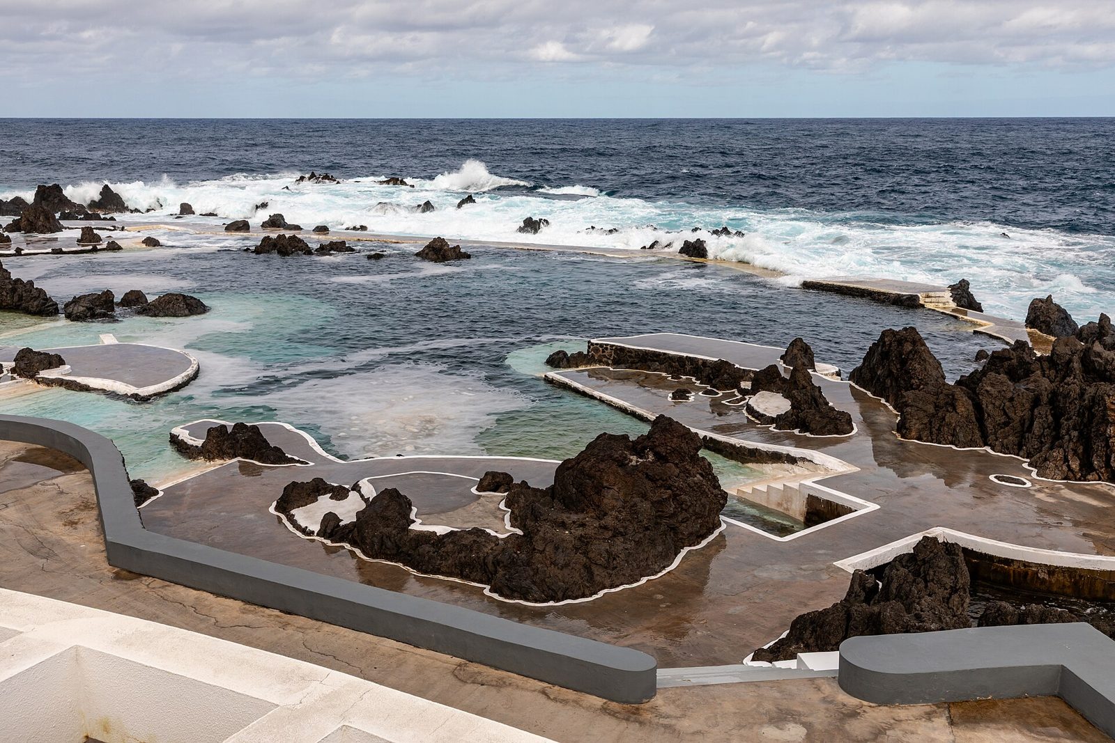
Lava pools filled by the Atlantic at the island's north-western corner.
Black volcanic sand with a waterfall behind it, plus natural pools next door.
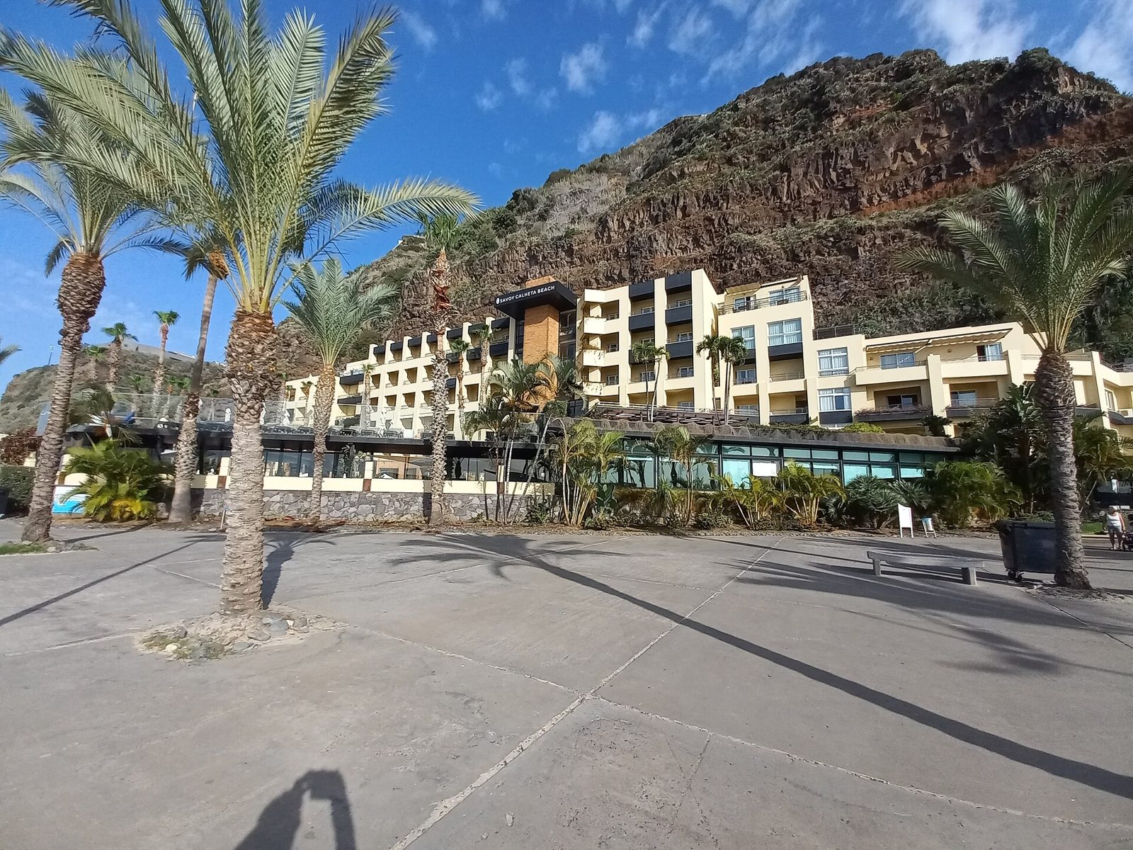
Imported golden sand behind two breakwaters — the calmest swimming on the island.
The island's other golden beach, in a sheltered bay ten minutes from the airport.
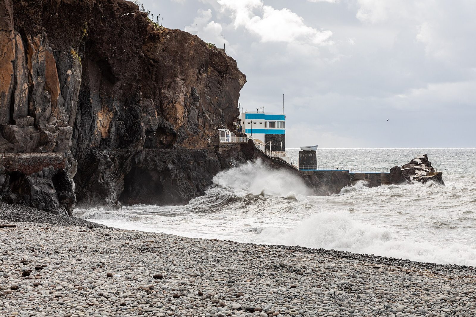
Funchal's own beach: pebbles, black sand and a long seafront promenade.
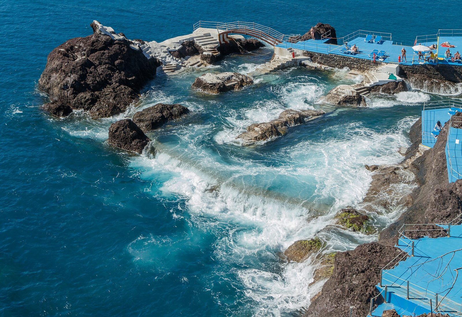
A small lava-rock pool complex on the western edge of Funchal.
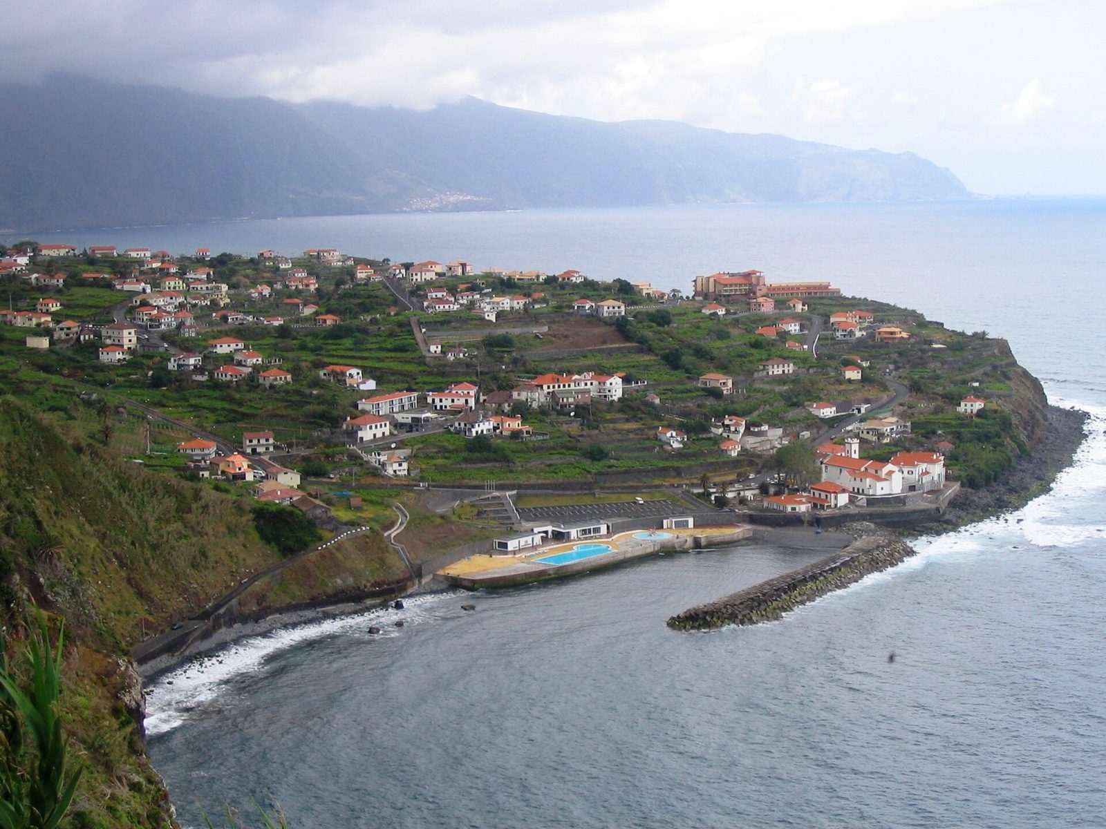
A big saltwater pool on the north coast, with barely a tourist in sight.
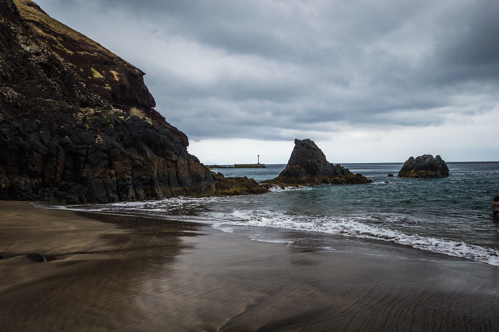
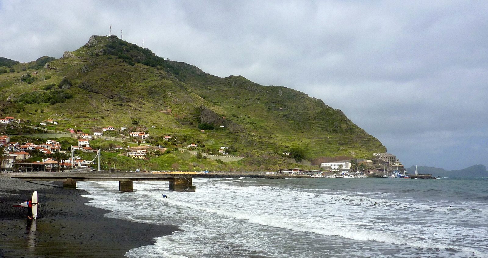
Madeira's only natural black-sand beach, tucked below Caniçal.
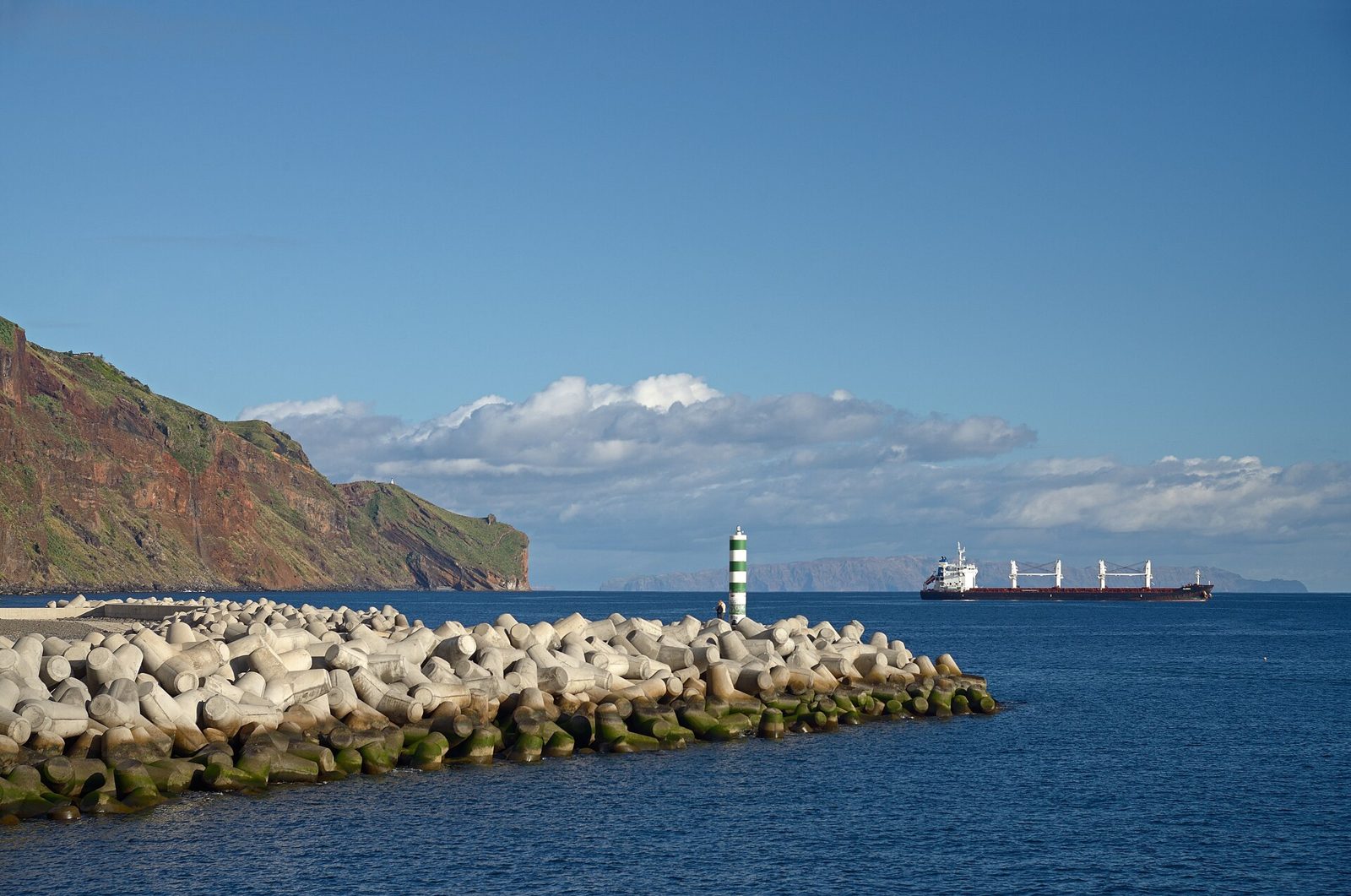
A pebble beach below the cliffs, in Madeira's first marine reserve.
Old town, market, cable car, Monte and the gardens above the city.
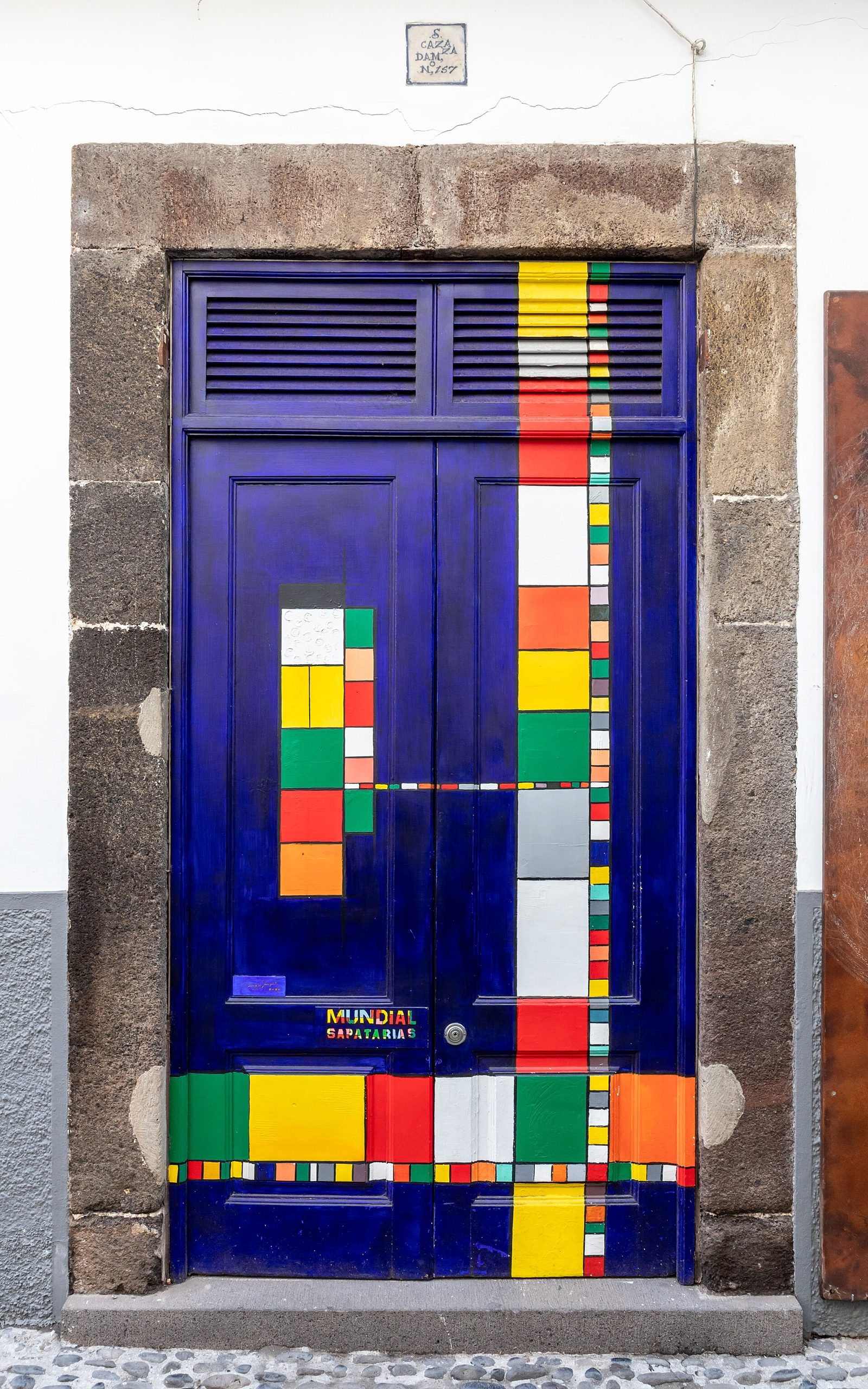
Rua de Santa Maria and its painted doors — Funchal's best evening.
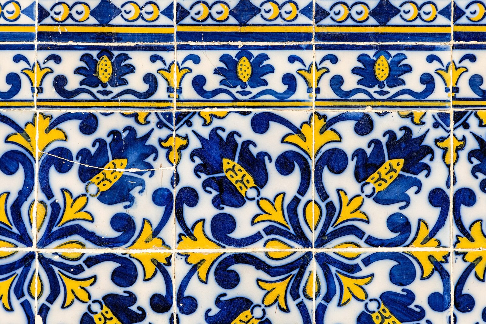
The workers' market: flowers, tropical fruit and the scabbard fish counter.
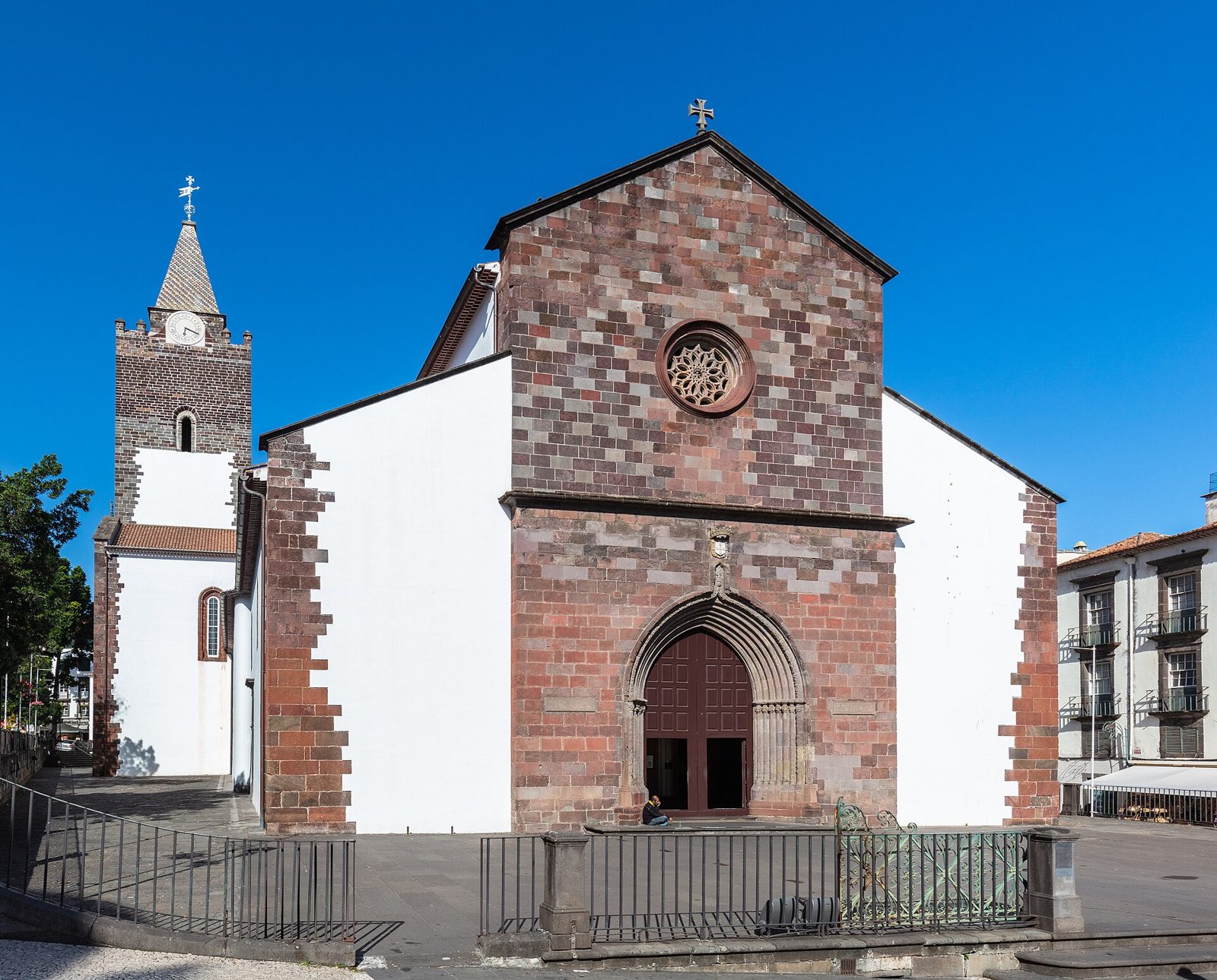
A late-15th-century cathedral with a Mudéjar cedar ceiling.
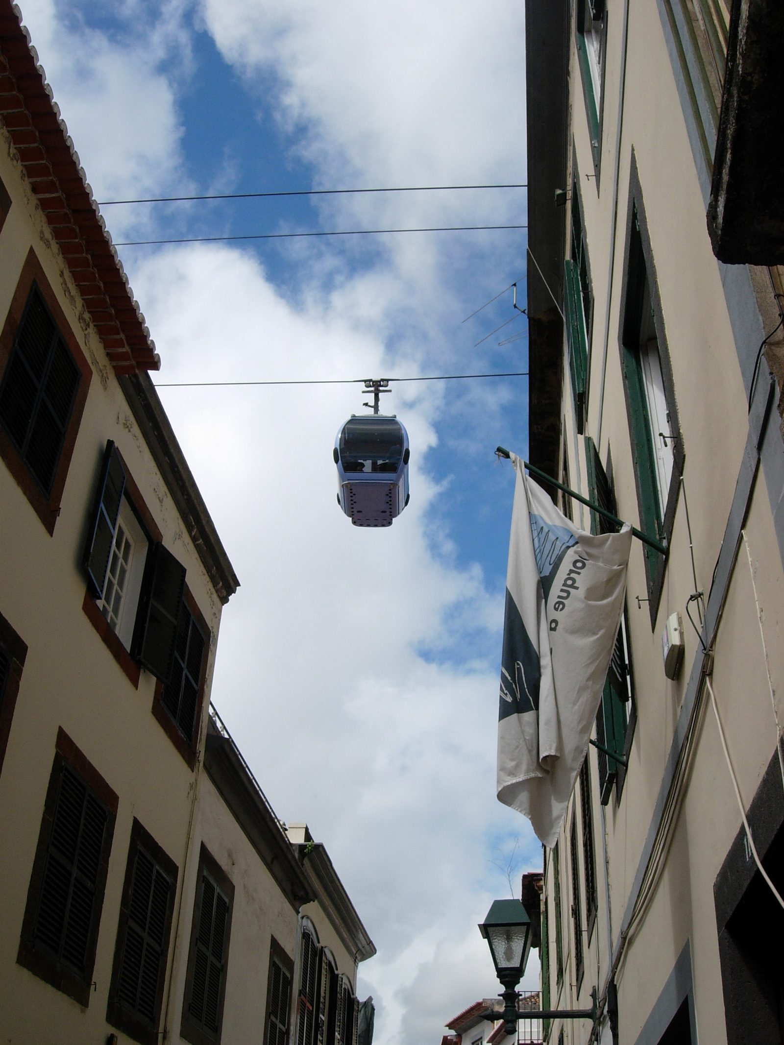
Fifteen minutes from the old town to Monte, 560 m above the sea.
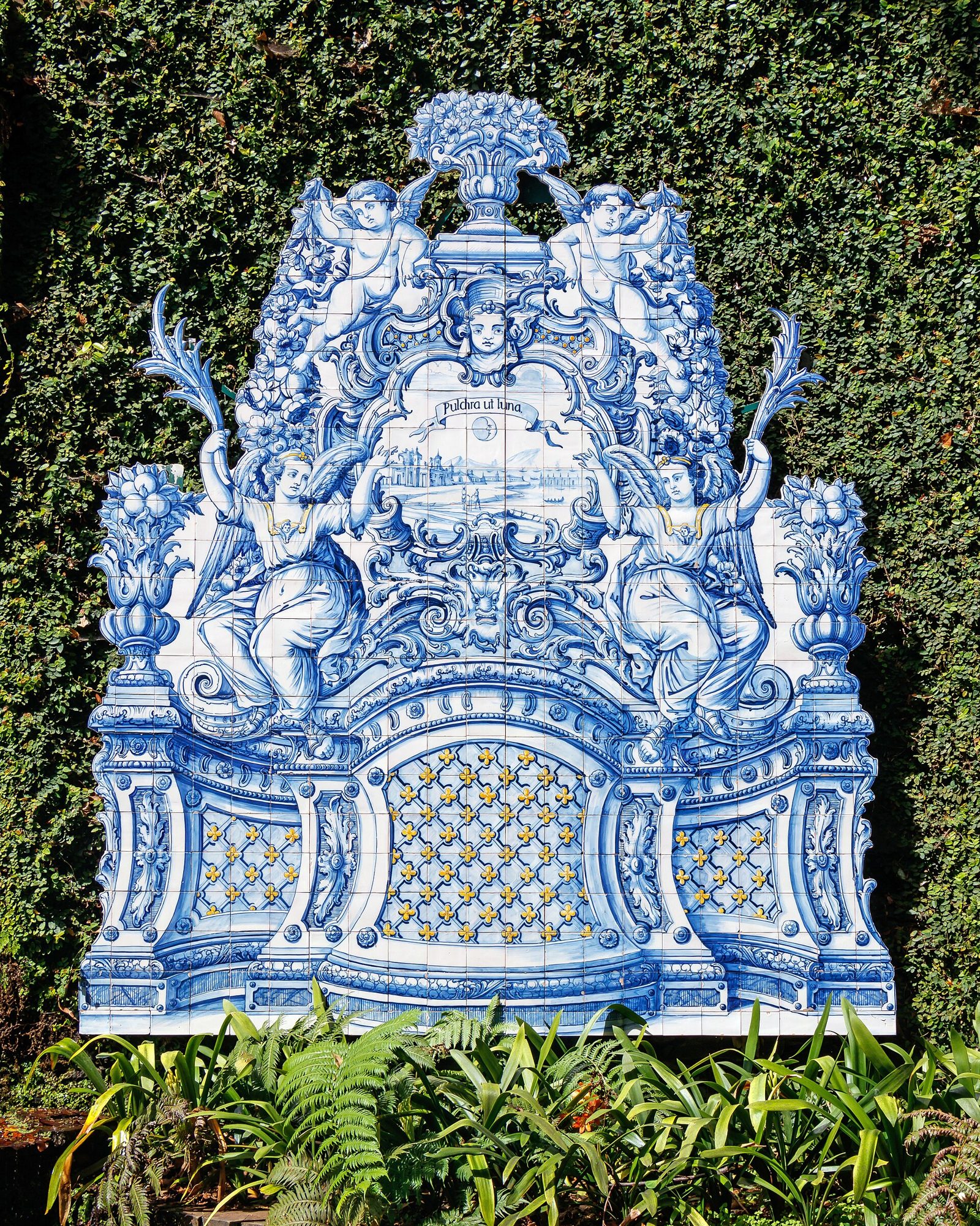
Seven hectares of tiled terraces, koi ponds and imported cycads above Funchal.
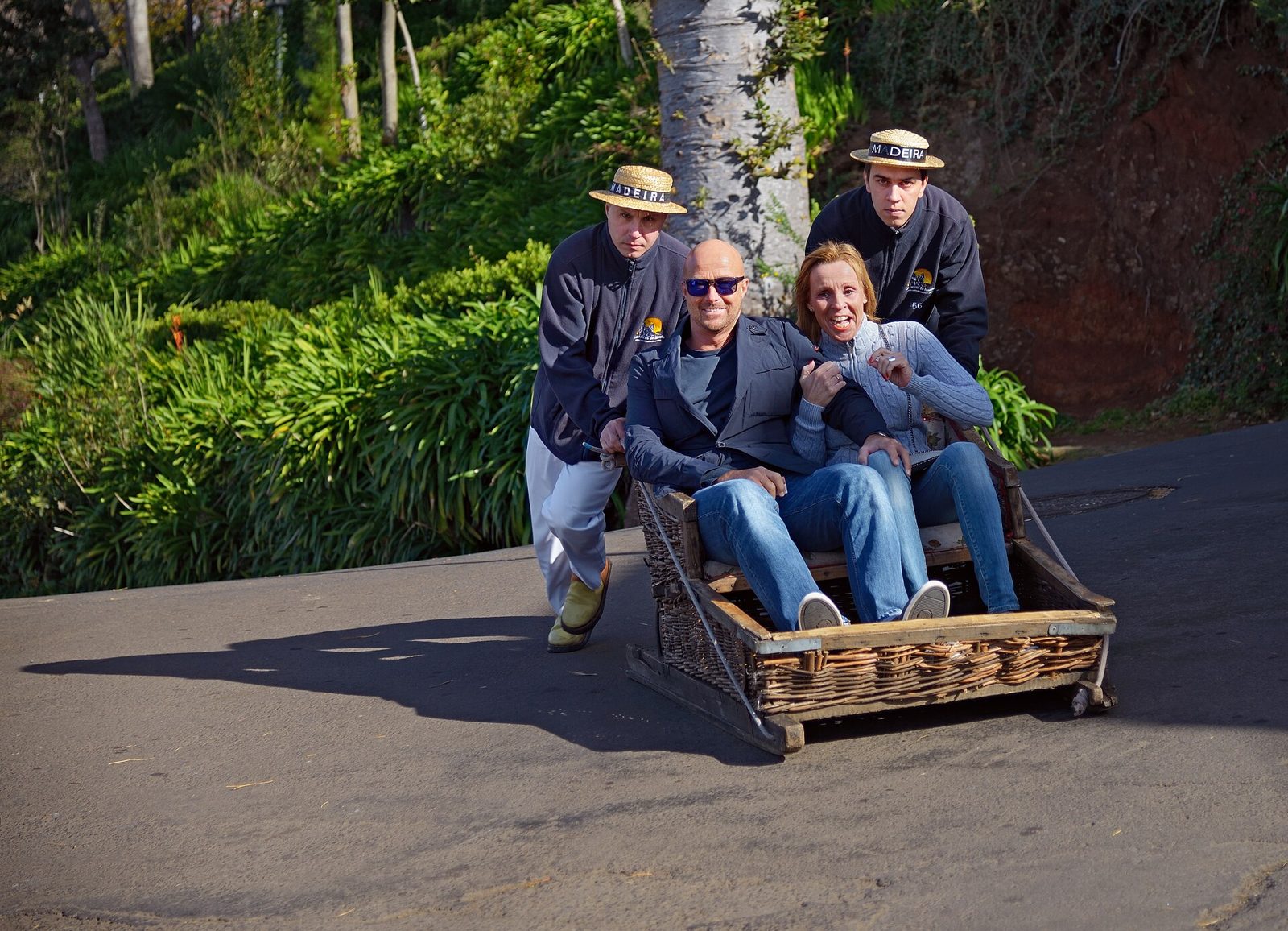
Wicker sledges steered downhill by two men in straw hats. Since 1850.
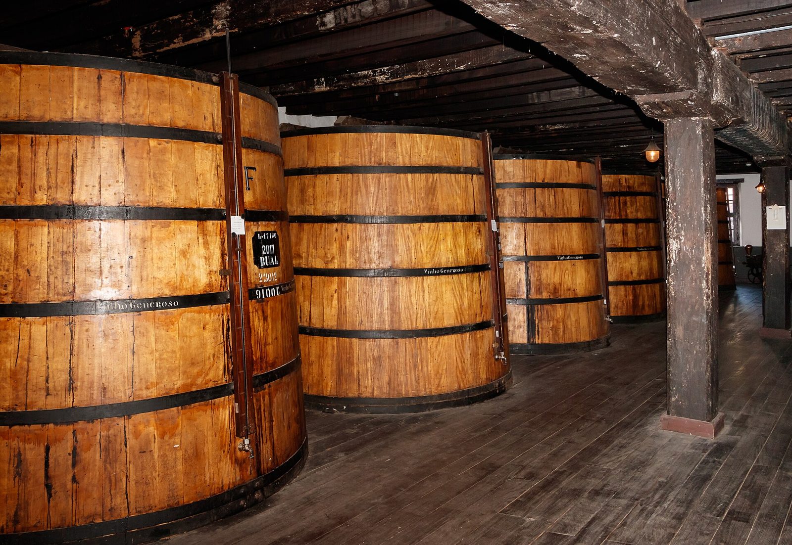
Madeira wine, aged in the roof, tasted in a 17th-century convent.
Terraced beds of endemic and tropical plants, high above the city.
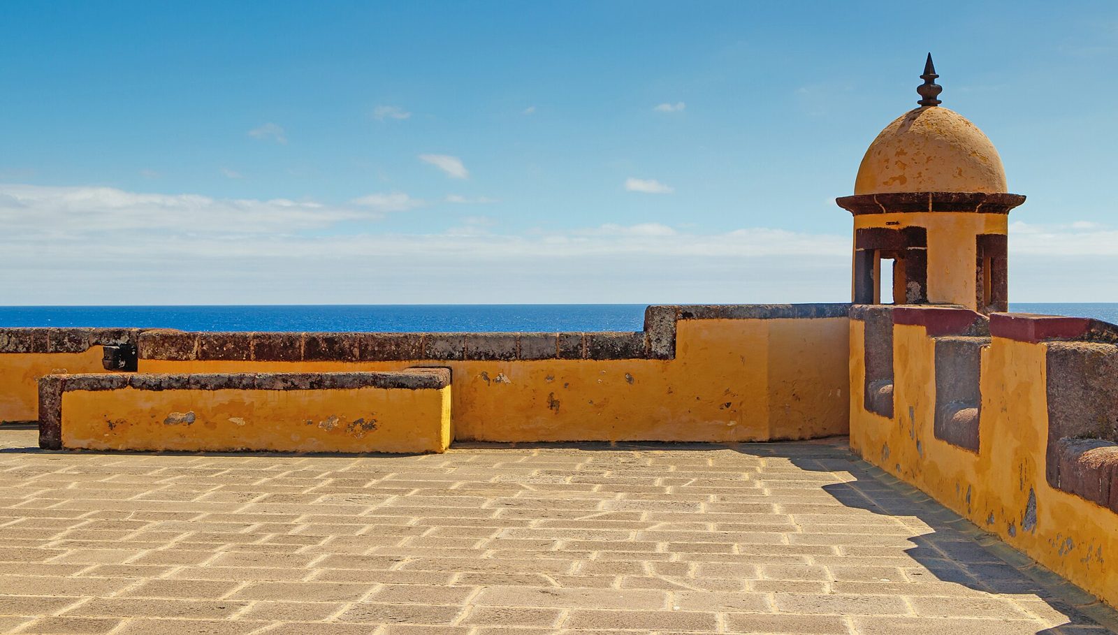
A yellow 17th-century sea fort at the end of the old town.
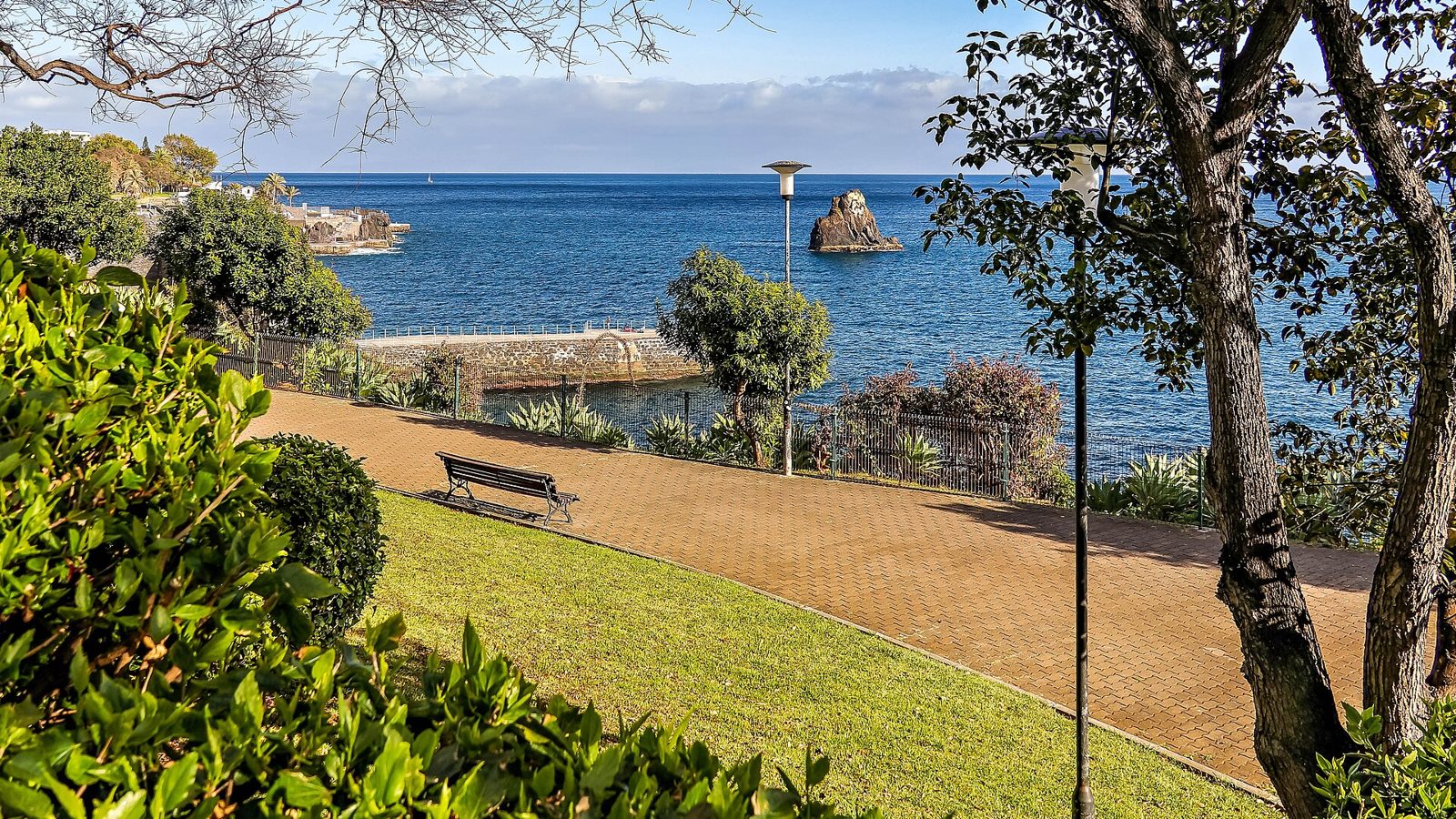
A seafront walkway from the hotel zone west towards Câmara de Lobos.
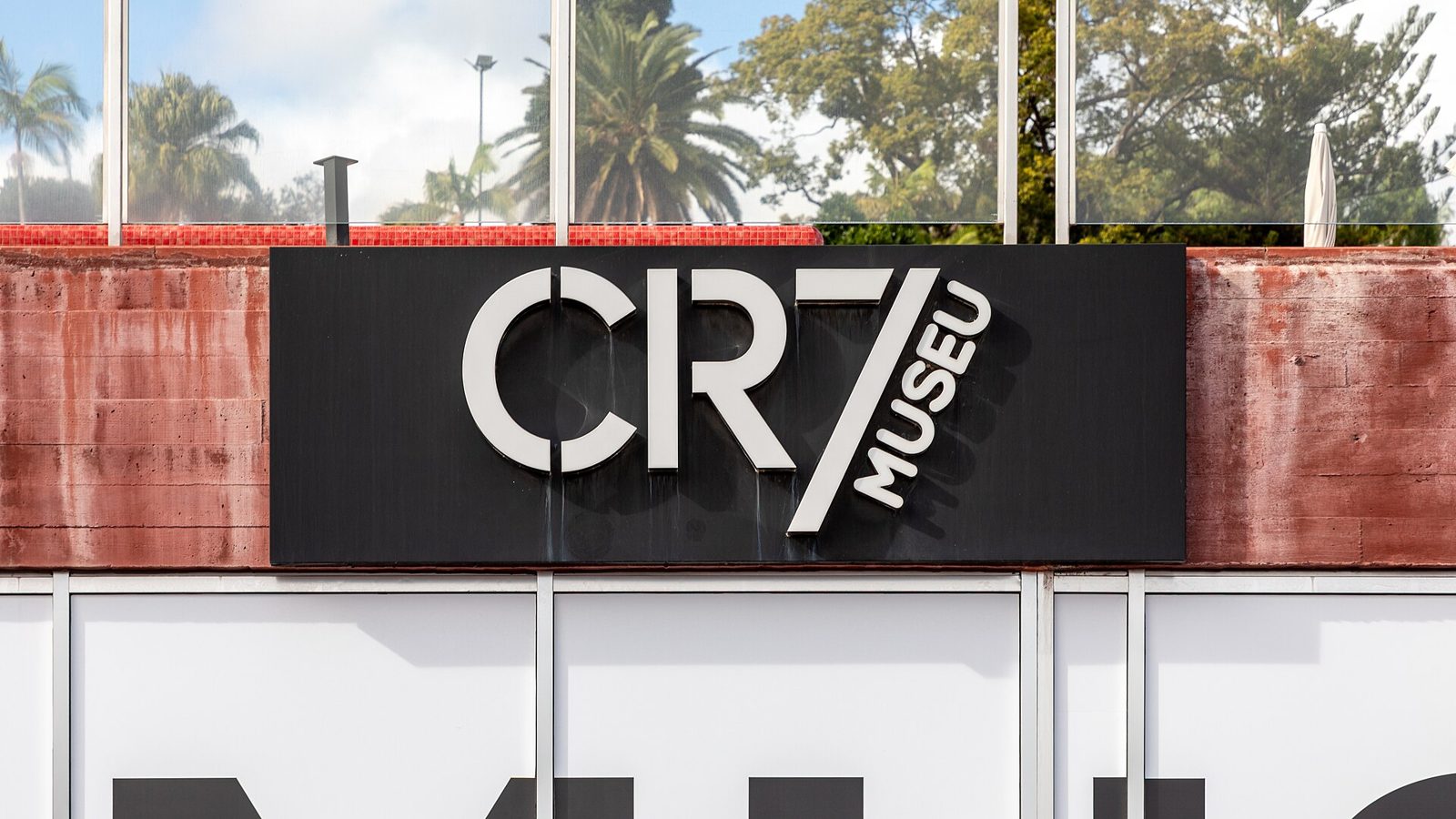
Cristiano Ronaldo's trophy collection, in the city where he grew up.
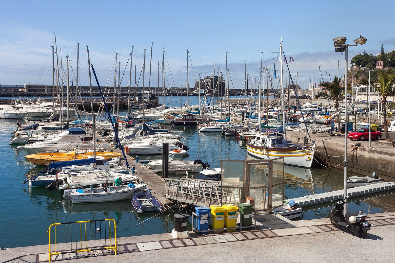
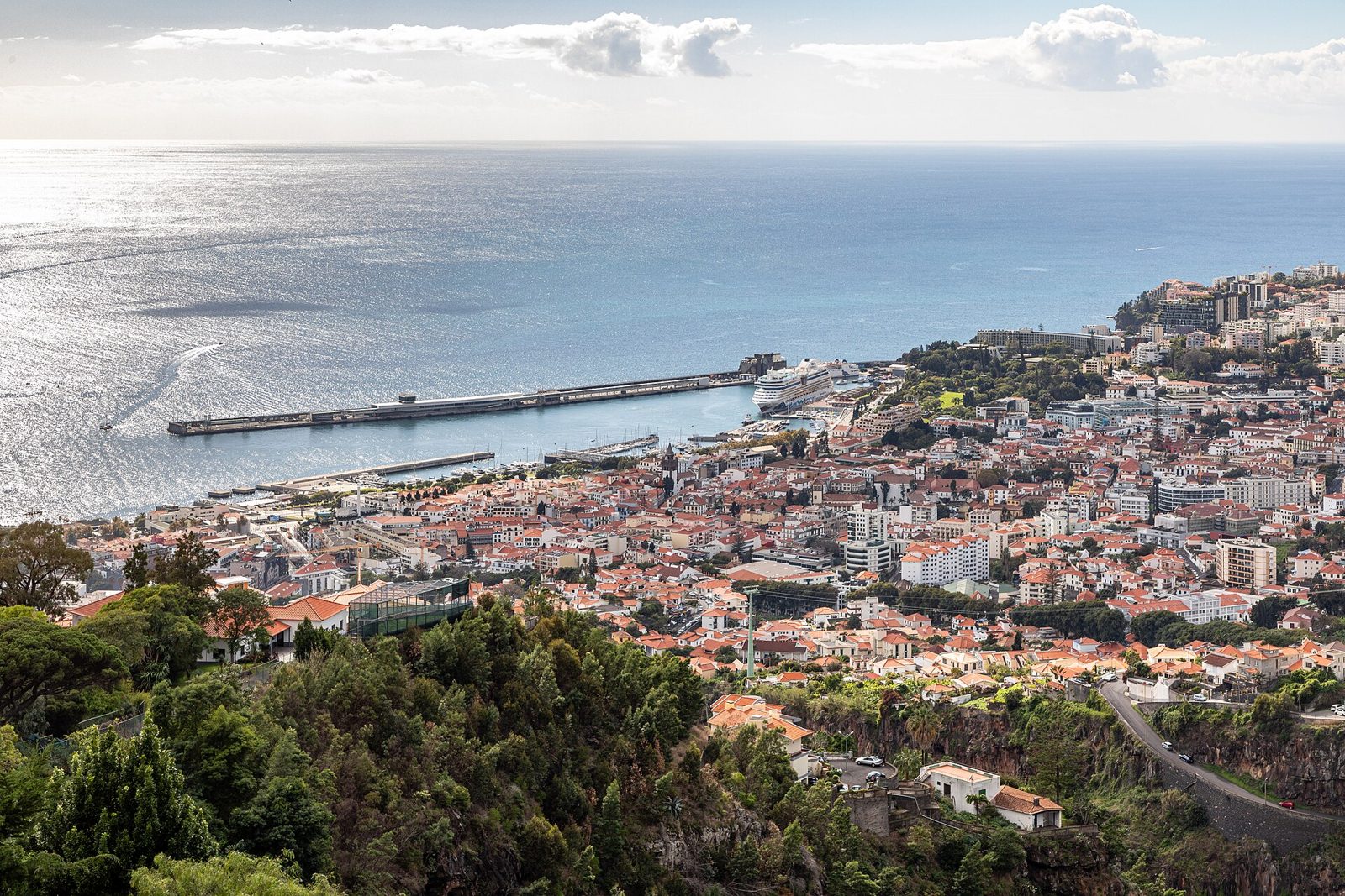
Where the boats leave from, and where the city meets the sea.
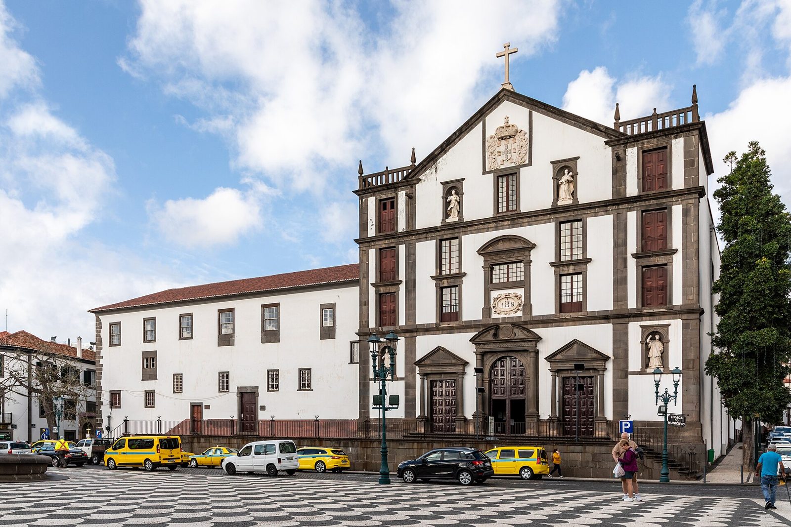
A plain Jesuit facade hiding one of the most decorated interiors on the island.
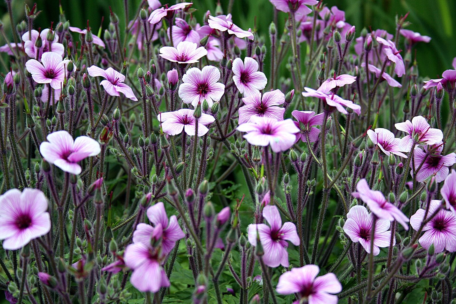
An English-influenced estate garden above Funchal, quiet even in August.
Fishing harbours, thatched houses and the places people actually live.
A working fishing harbour, painted boats, and the birthplace of poncha.
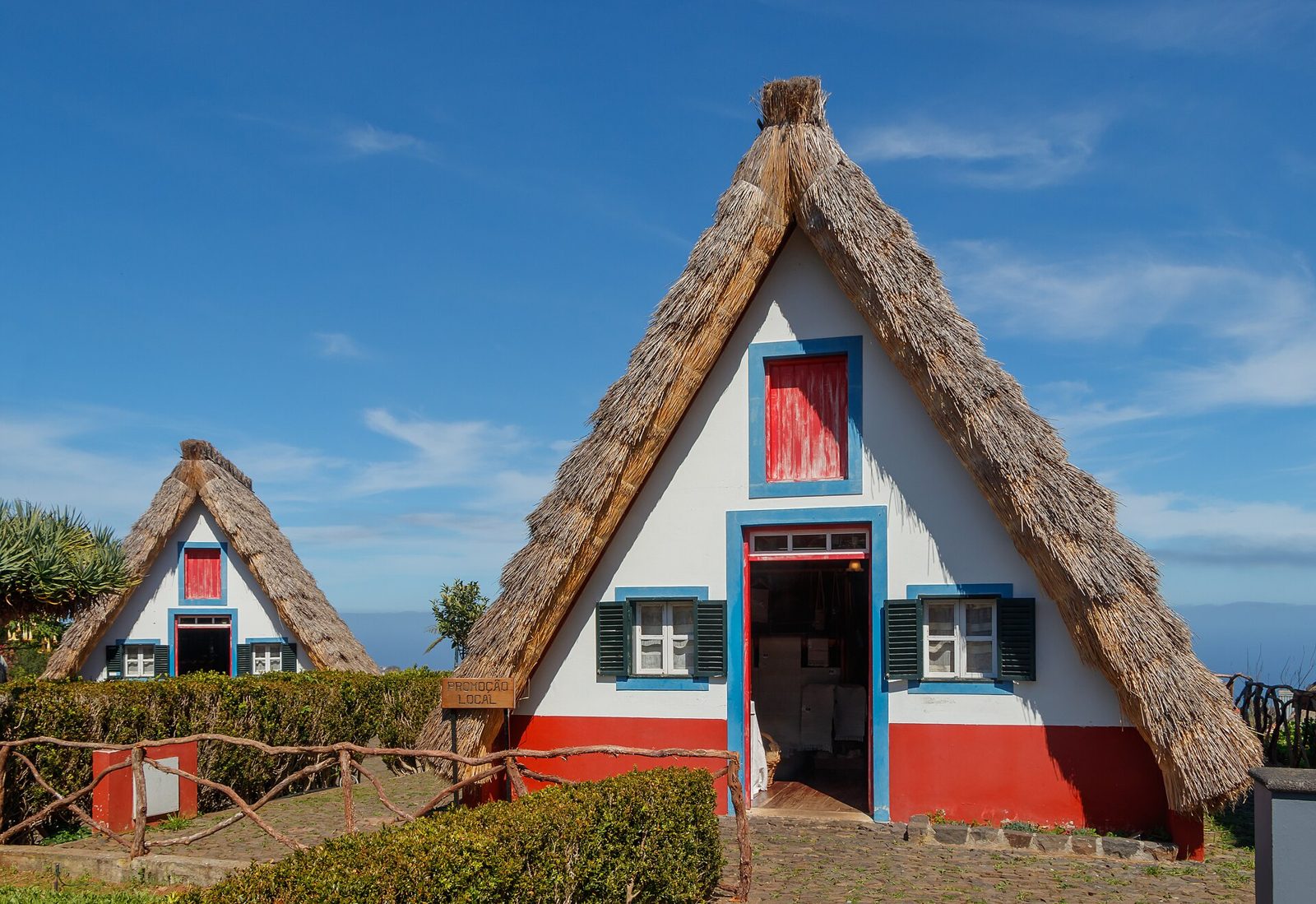
The triangular thatched houses, and the gateway to the north's best walks.
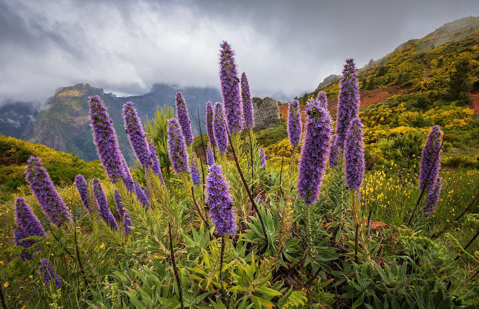
The nuns' valley: a village at the bottom of an 800 m bowl of rock.
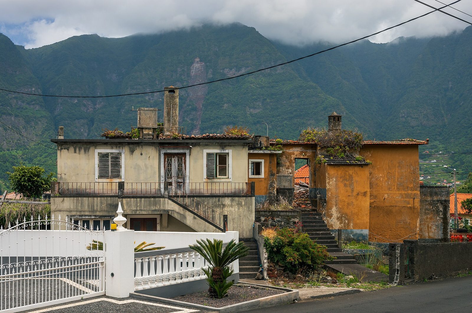
A tidy north-coast town with lava caves and a chapel built into a rock.
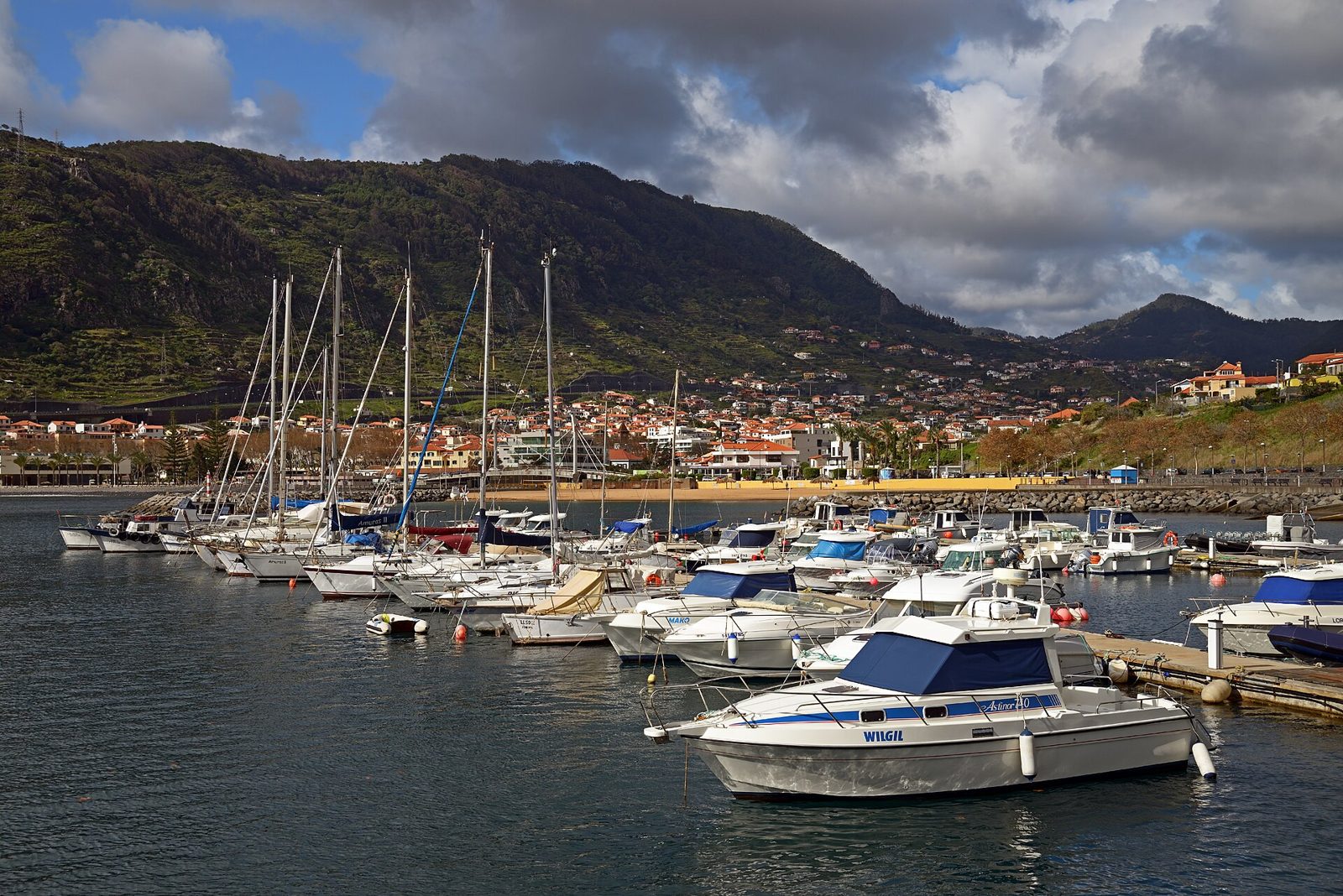
Madeira's first settlement, and its most convenient beach town.
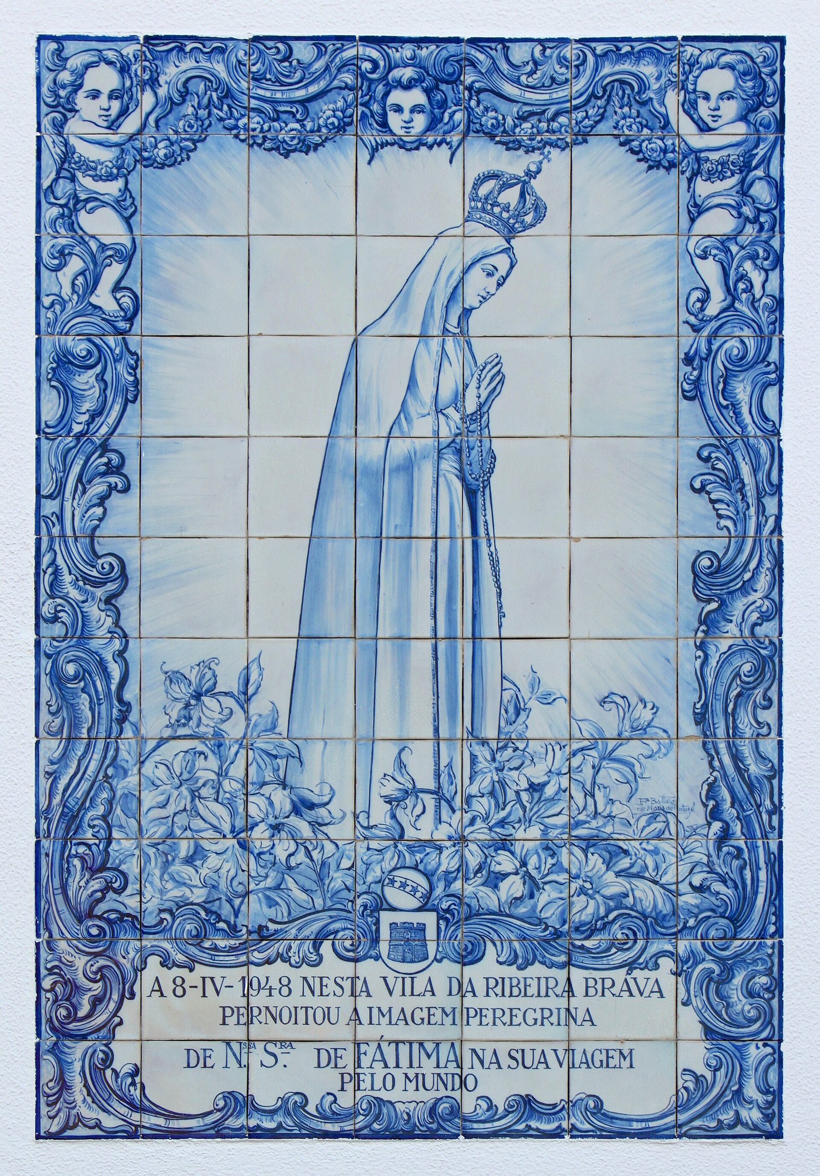
A pebble-beach town at the mouth of a big valley, halfway along the south coast.
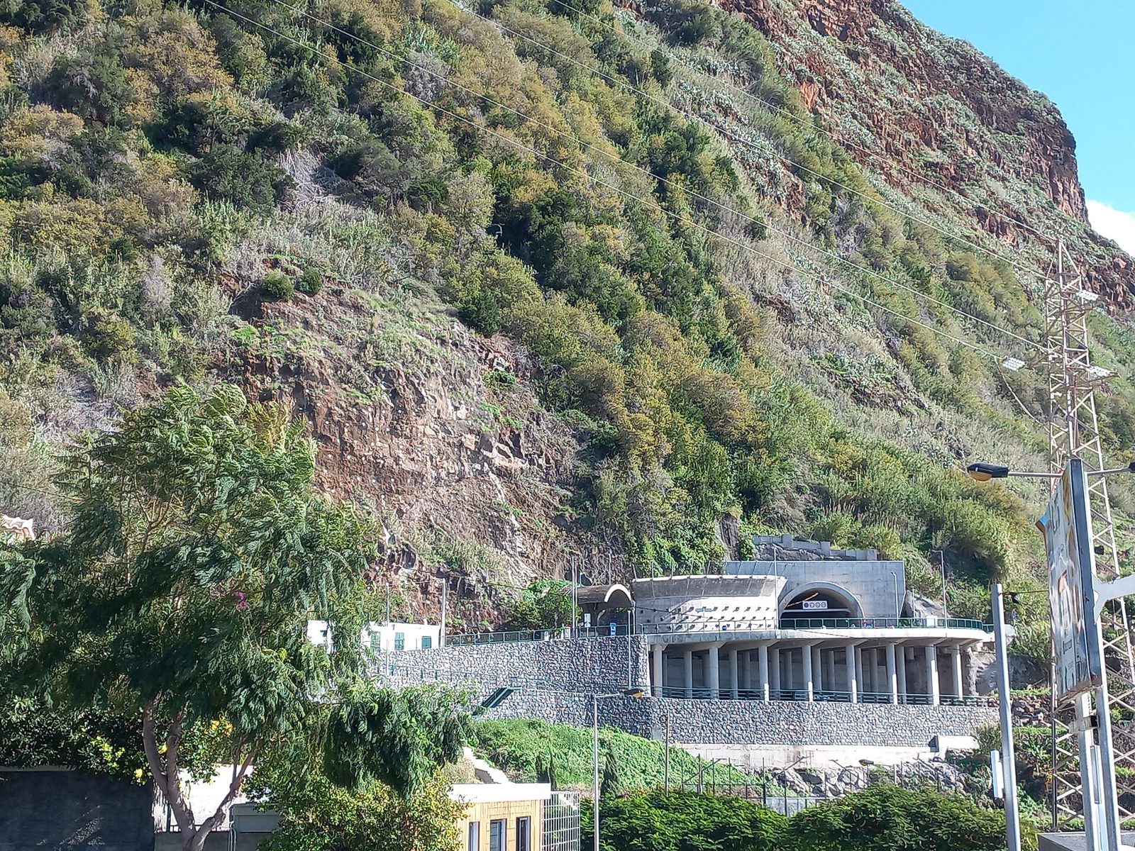
A car-free village on a rock shelf, known to surfers worldwide.
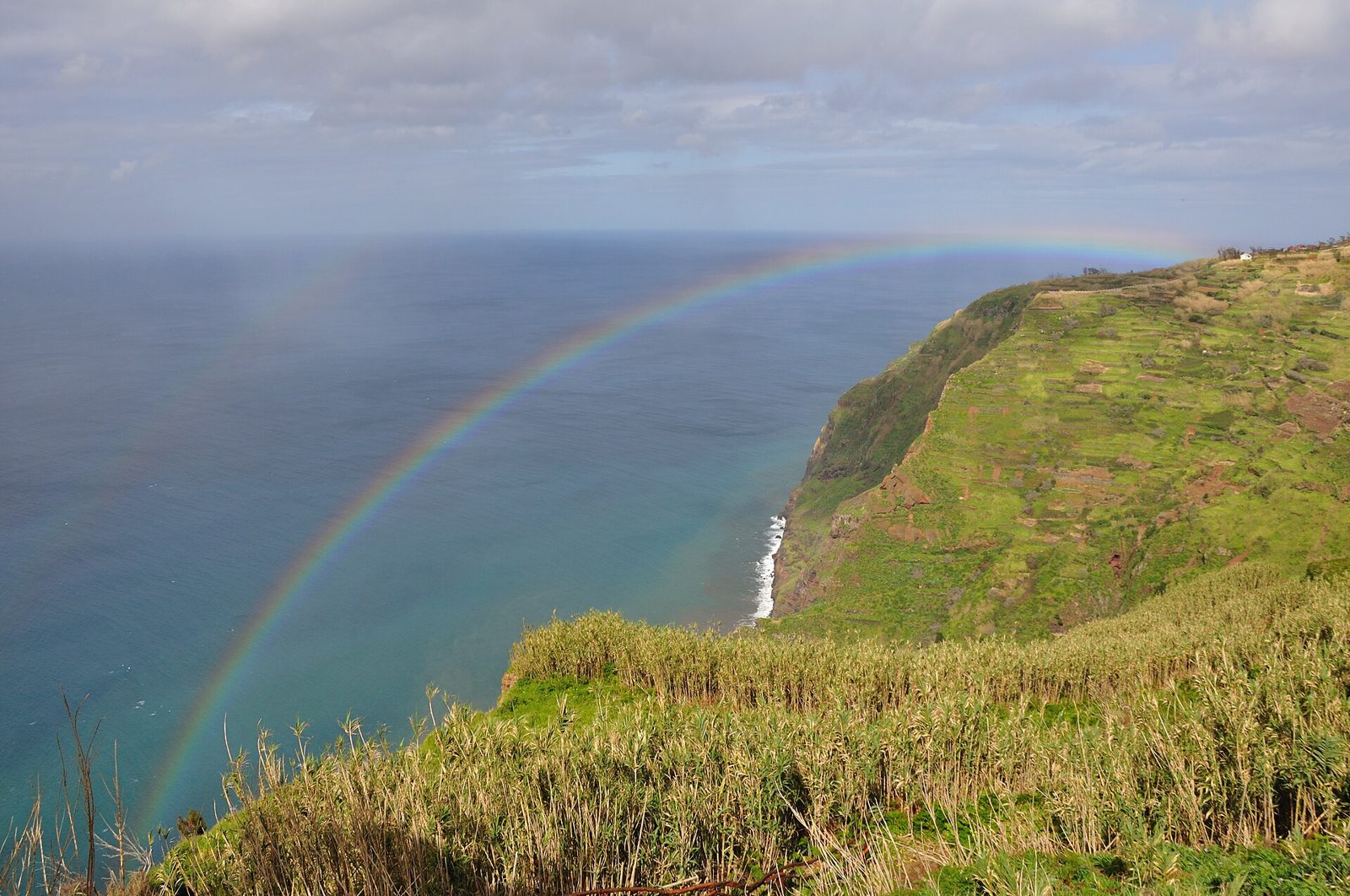
A near-vertical cable car to a farming shelf 450 m below the cliff.
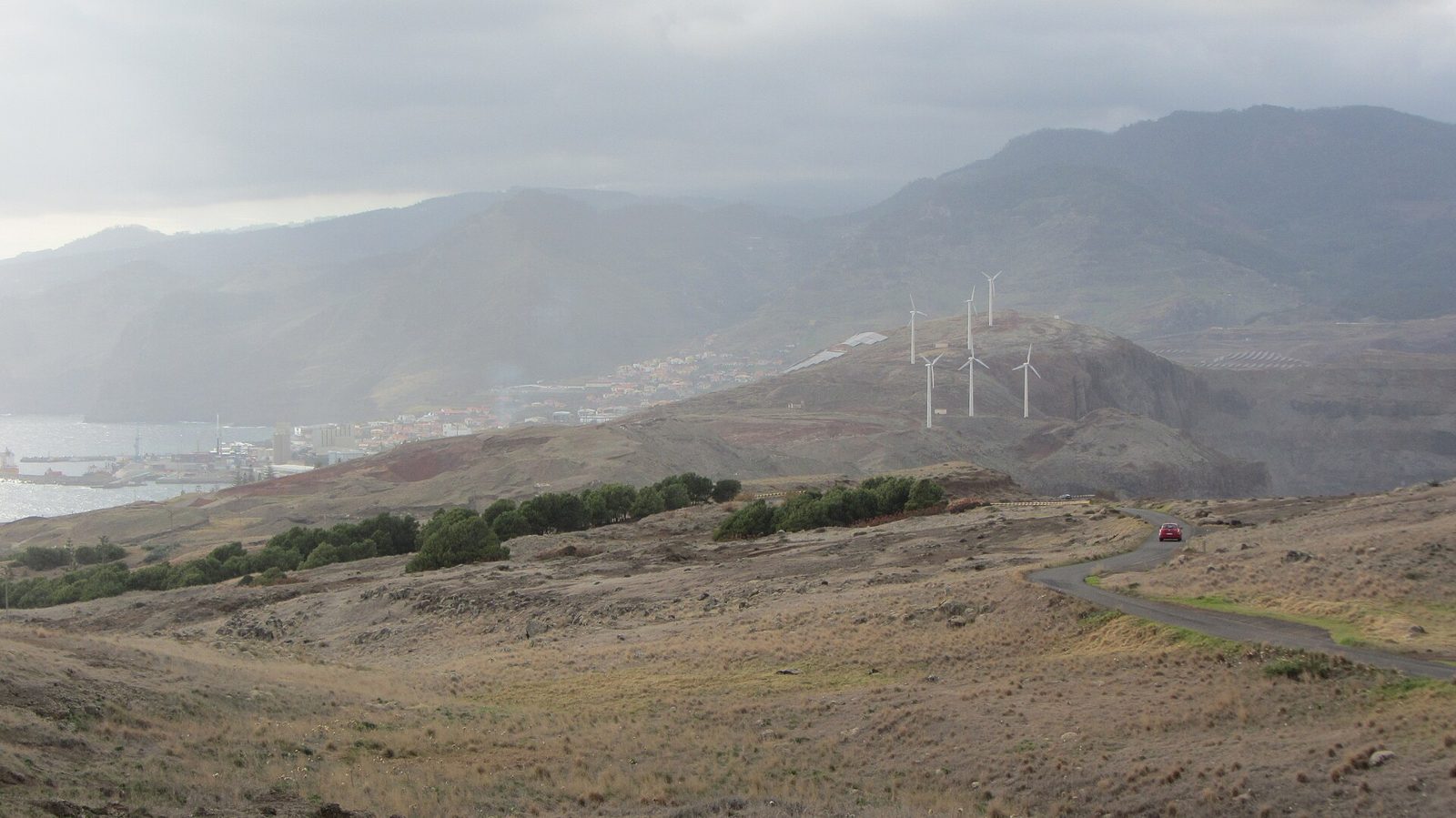
A former whaling port turned fishing town at the island's eastern end.
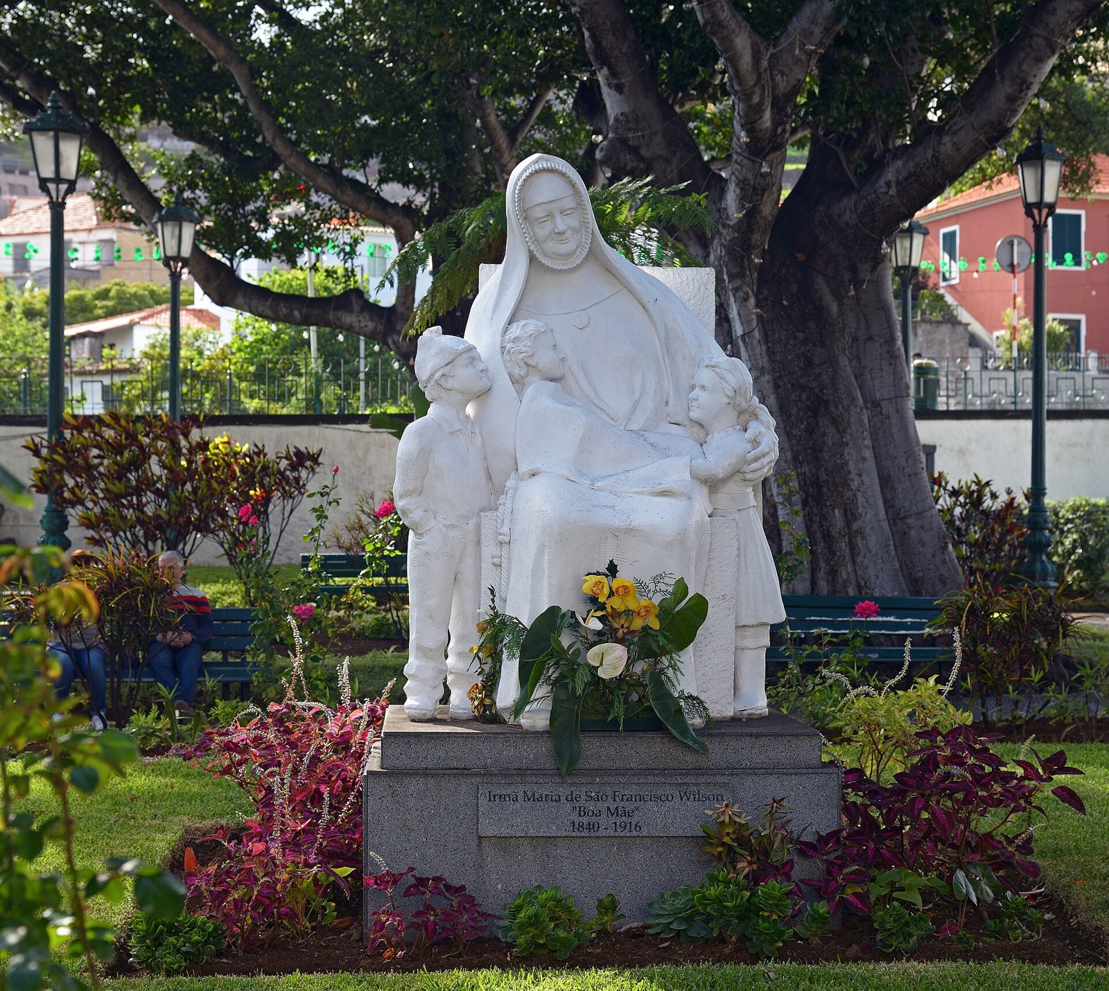
A seafront town beside the airport with a lido, a beach and a water park.
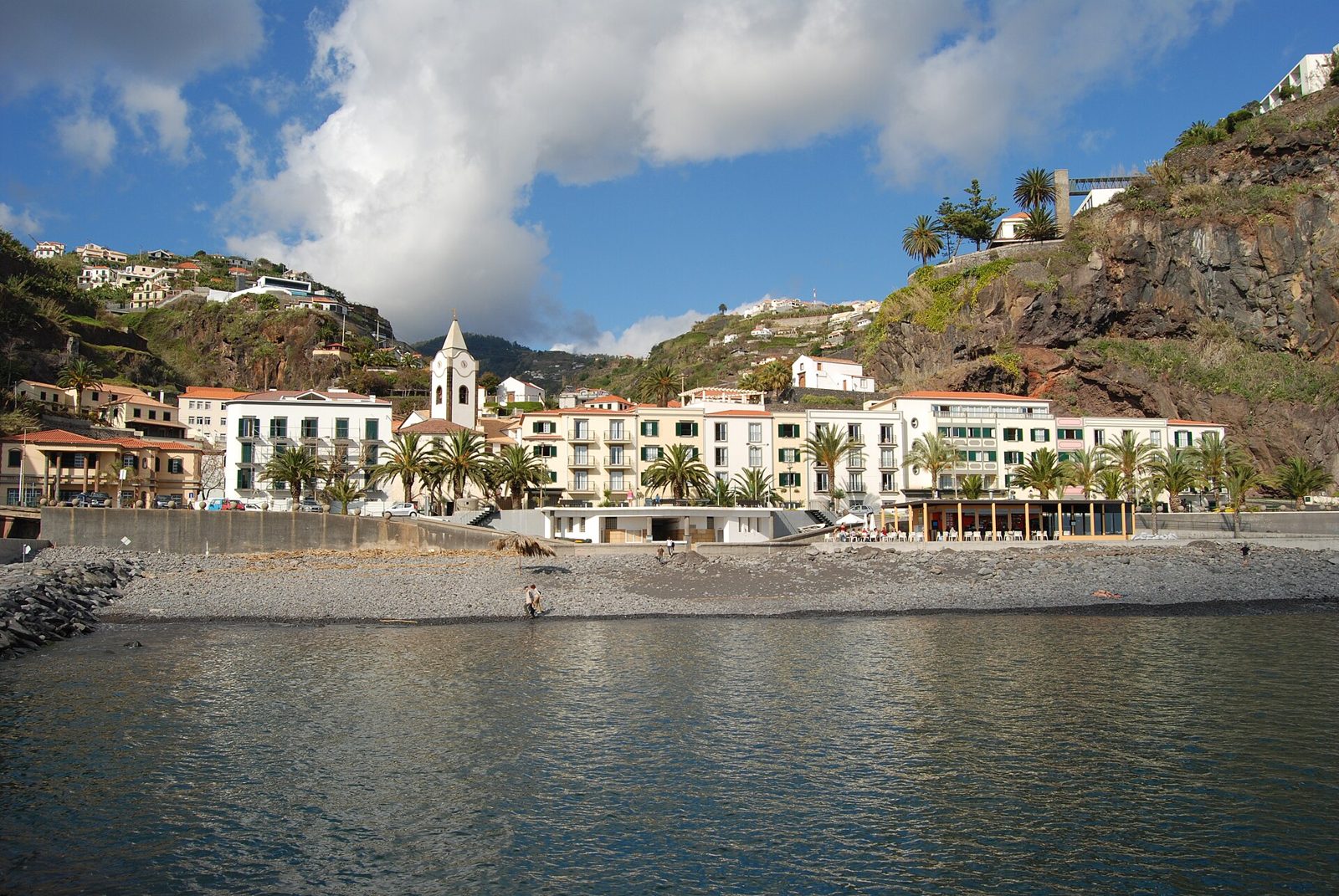
The sunniest spot on the island, with a pebble beach and a good sunset.
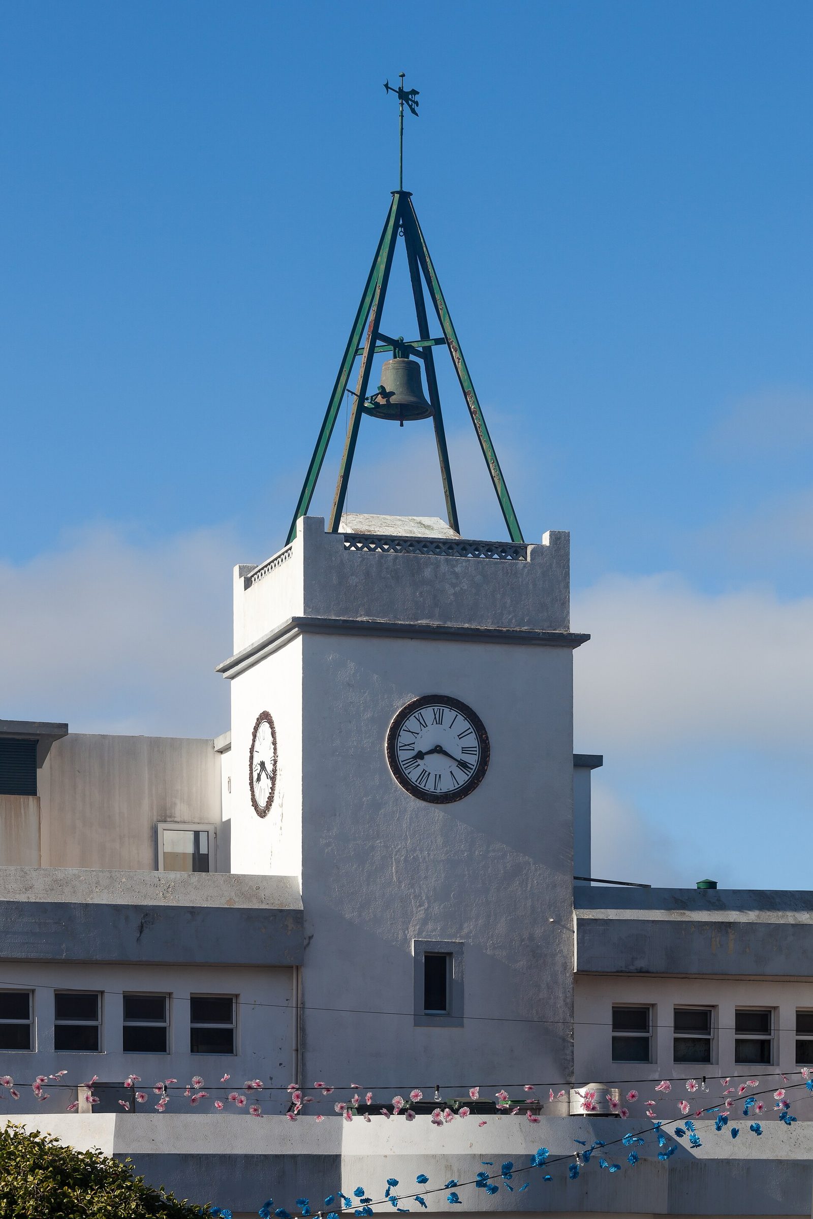
Wickerwork, folk dancing and the place Madeira's football was first played.
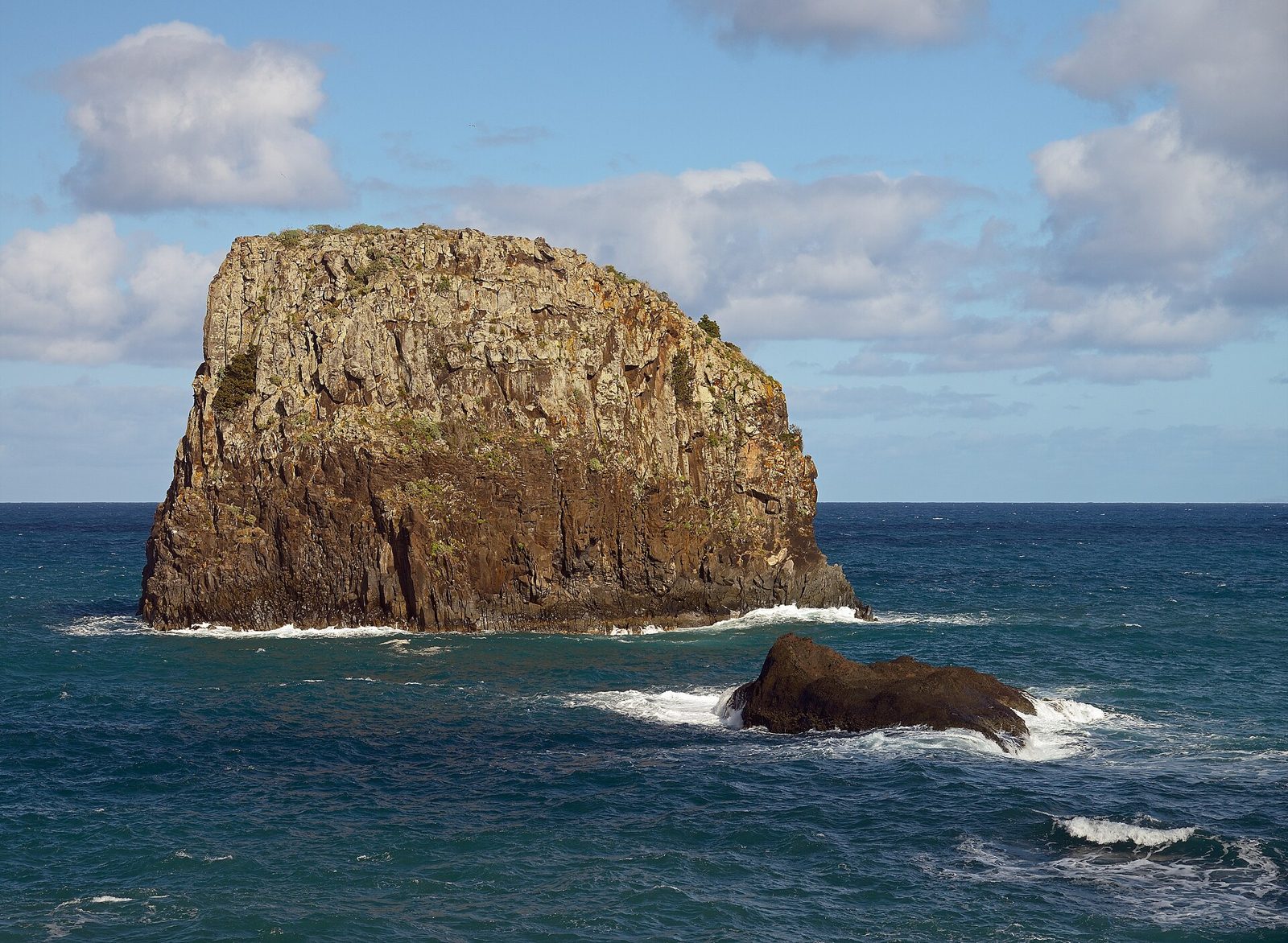
A north-coast village under Eagle Rock, with a working sugar-cane mill.
Laurisilva, lava caves, sea stacks and the islands offshore.
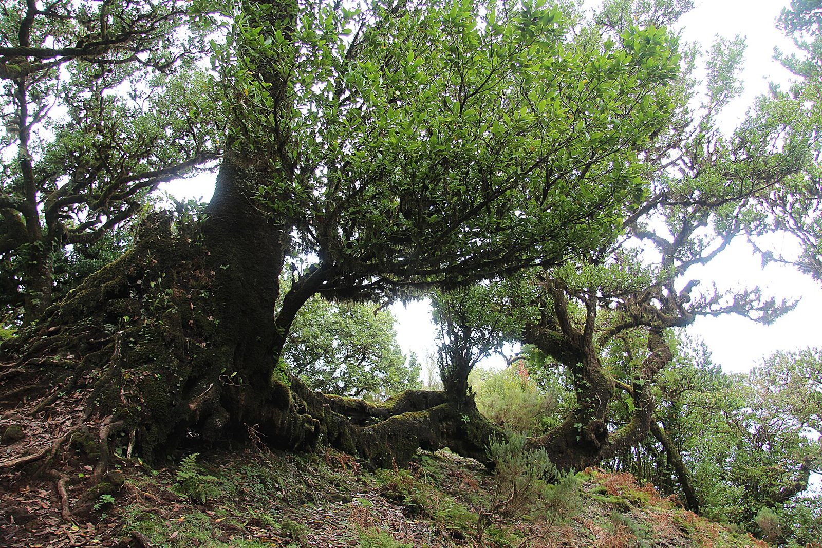
A UNESCO World Heritage laurel forest that predates the last ice age.
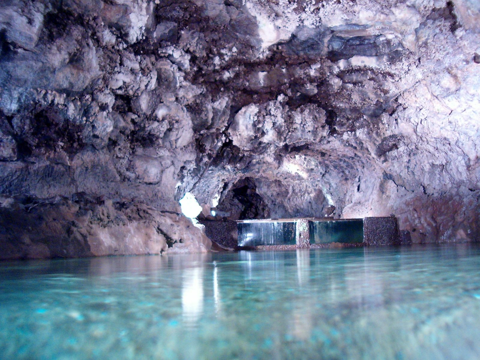
Lava tubes from an eruption 890,000 years ago, walkable on a guided tour.
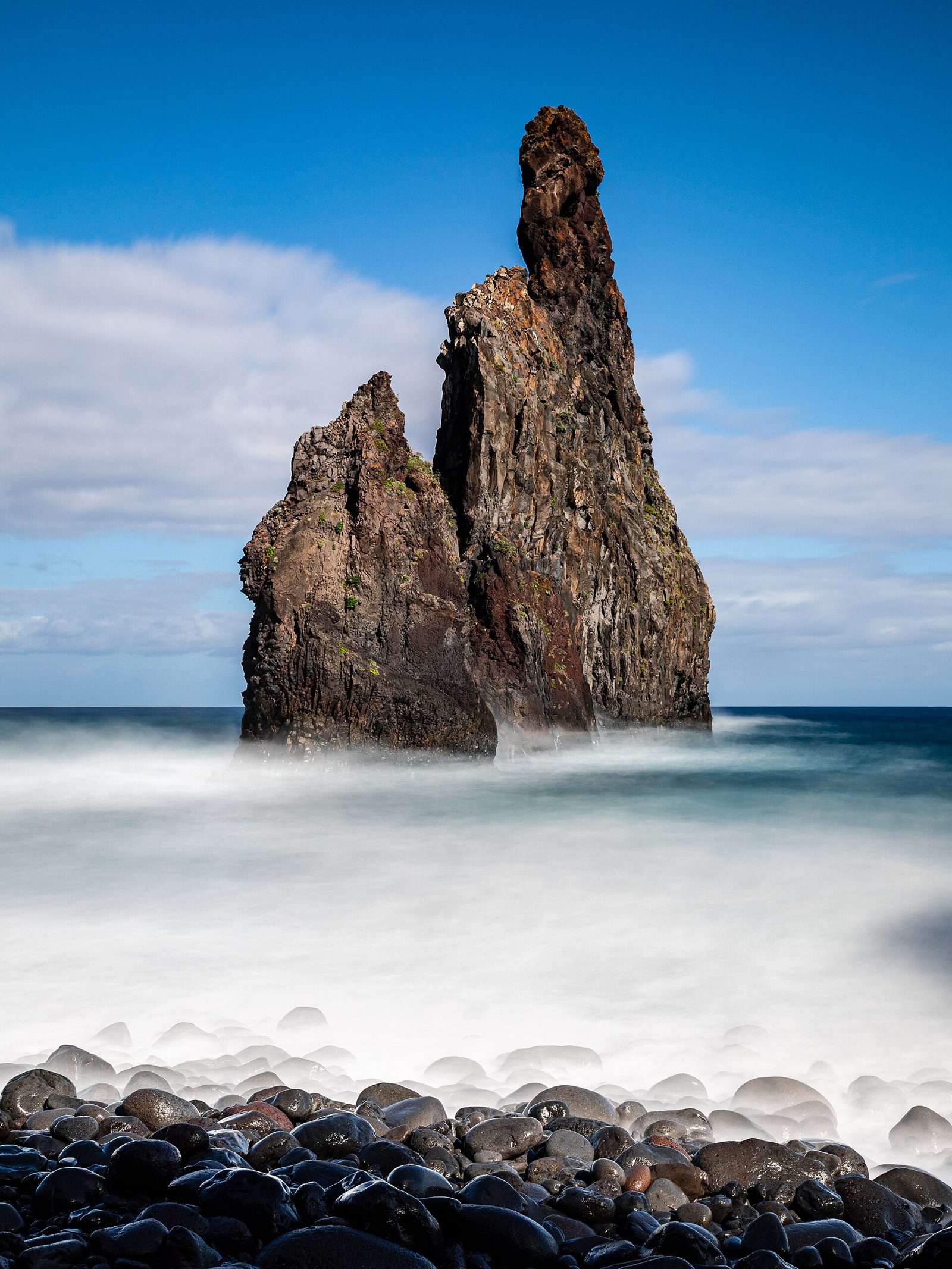
Three sea stacks off a black shingle river mouth, near Porto Moniz.
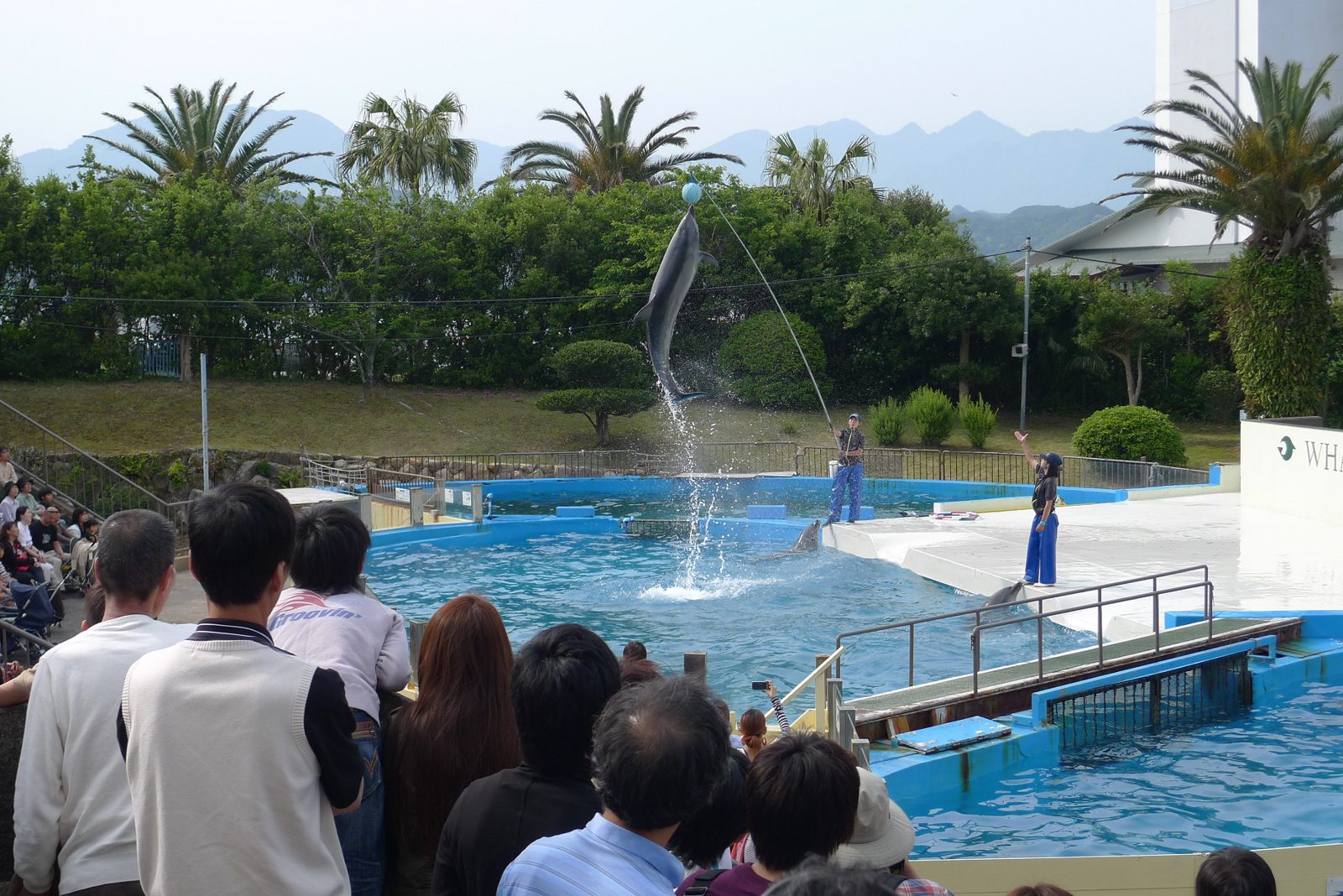
An honest account of Madeira's whaling years, and of the whales now protected.
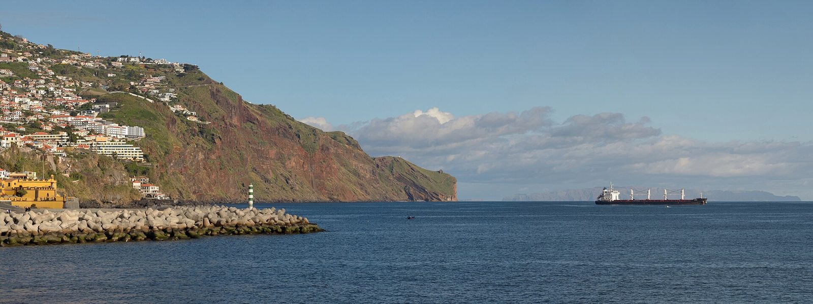
Three uninhabited islands on the horizon, and a nature reserve since 1990.
Nine kilometres of golden sand, a ferry ride from Funchal.
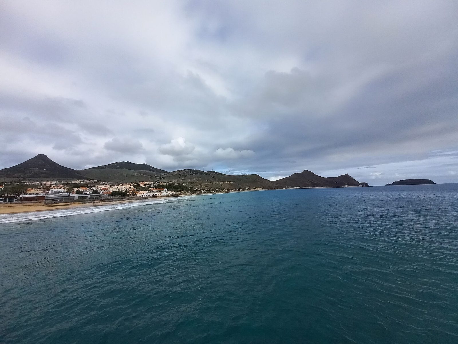
Nine kilometres of golden sand, two and a half hours away by ferry.
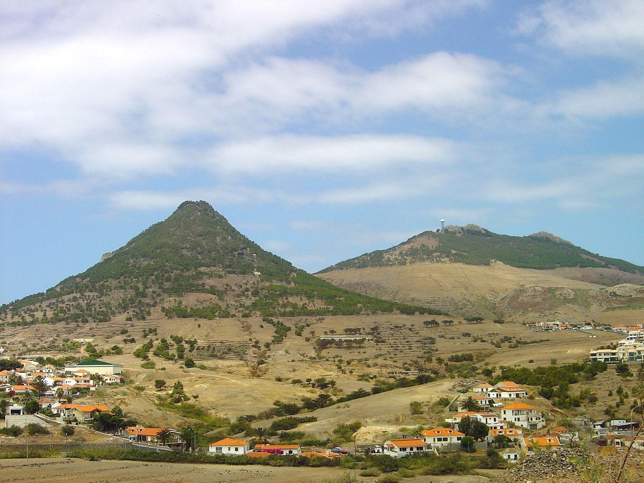
Porto Santo's highest point, with the whole island laid out below.
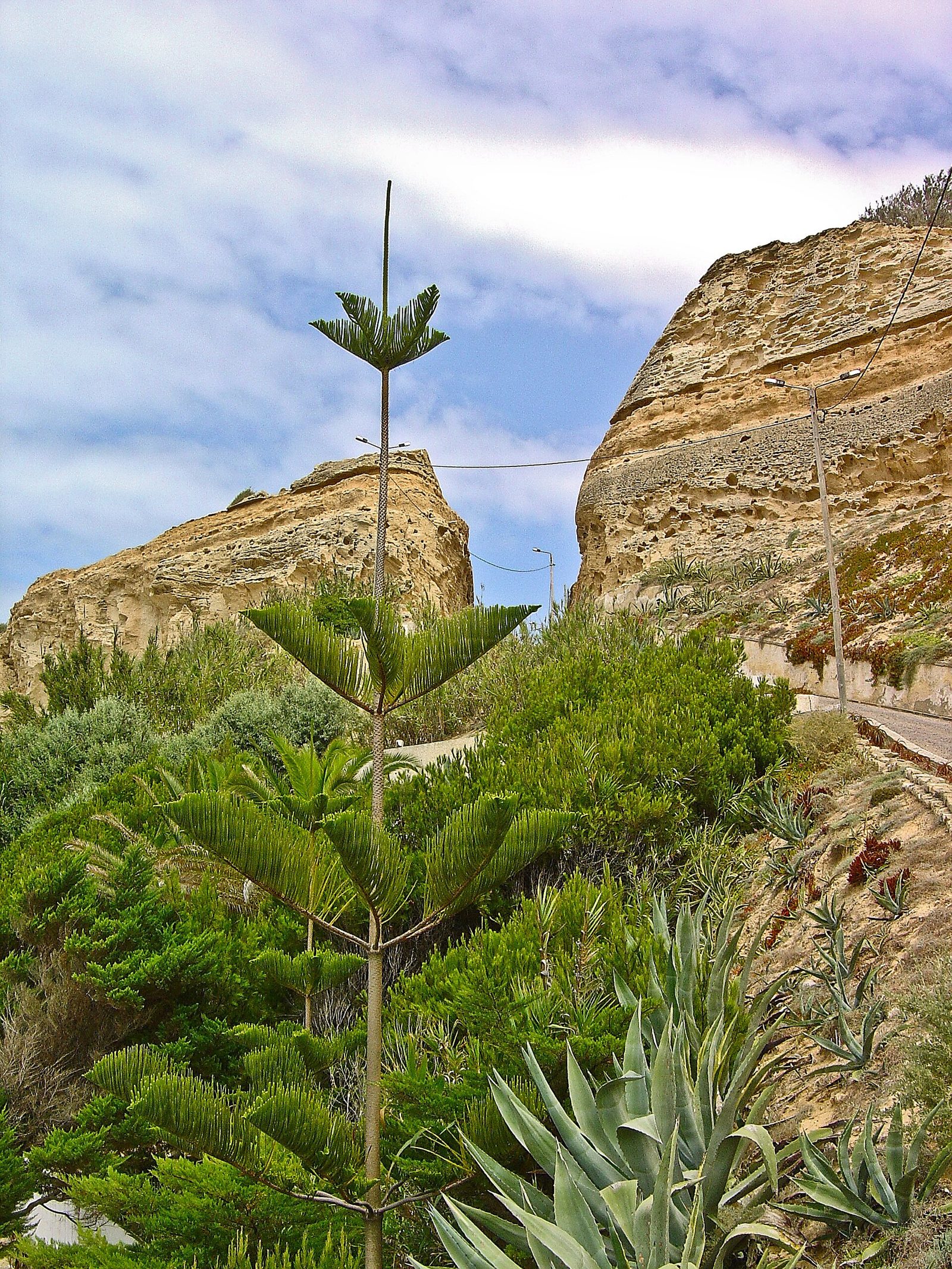
Wind-carved sandstone cliffs on Porto Santo's wild north shore.
New places we've walked and rated, seasonal timings, and the guides we've just rewritten. A few times a year, never more.